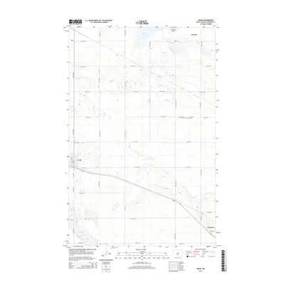
2014 Map of Drake
USGS Topo · Published 2014About this map
Durham and the surrounding North Carolina Piedmont are captured here during a period of significant industrial and transit growth. The city of Durham serves as a major hub for several rail lines, including the Southern Railway, Norfolk and Western Ry, and the Seaboard Air Line. This network illustrates the region's importance as a commercial center in the early 20th century. Beyond the city limits, the landscape transitions into a series of smaller rural communities such as Morrisville, Nelson, and Bethesda. The map highlights the intricate hydrology of the area, defined by the Eno River, Flat River, and Neuse River, alongside numerous smaller tributaries like Newhope Creek and Panther Creek. Settlements like Bahama and Willardsville to the north further demonstrate the dispersed yet connected nature of the county's development.
Find a feature on this map
27 named features on this map. Tap any name to fly to it.
Don’t see what you’re looking for? This feature index may not catch every label — zoom into the map to look around manually.
Map Details
Editions of this 2014 Drake Map
This is the sole edition of this map. No revisions or reprints were ever made.
Other maps of this area

1930 · Drake
USGS Topo · 1:62,500

1940 · Aylmer
USGS Topo · 1:62,500

1951 · Anamoose SW
USGS Topo · 1:24,000

1954 · Minot
USGS Topo · 1:250,000

1954 · McClusky
USGS Topo · 1:250,000

1957 · Rangeley SE
USGS Topo · 1:24,000

1957 · Rangeley
USGS Topo · 1:24,000

1958 · McClusky
USGS Topo · 1:250,000

1958 · Minot
USGS Topo · 1:250,000
1958 · Anamoose
USGS Topo · 1:24,000