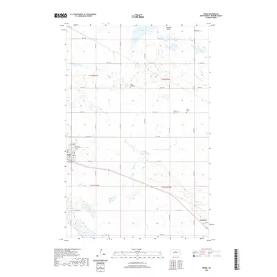
2020 Map of Drake
USGS Topo · Published 2020About this map
Drake and Anamoose anchor this portion of the North Dakota prairie, where a strictly organized grid of agricultural roads defines the movement across the landscape. The region is notable for its concentration of historic burial sites, reflecting the diverse heritage of early settlers through landmarks such as Saint Margaret Mary Catholic Cem and the Sons of Herman Cem. To the north, the geography softens into the depressions of Antelope Valley and the waters of Flat Lake.
Find a feature on this map
27 named features on this map. Tap any name to fly to it.
Don’t see what you’re looking for? This feature index may not catch every label — zoom into the map to look around manually.
Map Details
Editions of this 2020 Drake Map
This is the sole edition of this map. No revisions or reprints were ever made.
Other maps of this area

1930 · Drake
USGS Topo · 1:62,500

1940 · Aylmer
USGS Topo · 1:62,500

1951 · Anamoose SW
USGS Topo · 1:24,000

1954 · Minot
USGS Topo · 1:250,000

1954 · McClusky
USGS Topo · 1:250,000

1957 · Rangeley SE
USGS Topo · 1:24,000

1957 · Rangeley
USGS Topo · 1:24,000

1958 · McClusky
USGS Topo · 1:250,000

1958 · Minot
USGS Topo · 1:250,000
1958 · Anamoose
USGS Topo · 1:24,000