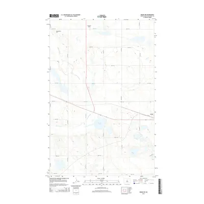
2014 Map of Drake NW
USGS Topo · Published 2014About this map
The Wintering River winds through the glacially carved landscape of McHenry County, defining the drainage patterns northwest of Drake. This northern prairie environment is characterized by the broad Antelope Valley and significant depressions that hold water bodies like Bentley Lake and the larger Alkali Lake to the south. The terrain rises to landmarks such as Montgomery Hill in the northwest, offering a perspective of the open country. The modern rural road grid, including 36th St NE and 9th Ave NE, segments the landscape into the traditional square-mile sections typical of the North Dakota plains. The map illustrates how local geography and water resources have dictated the placement of transportation routes and the small-scale development around the outskirts of the town site.
Find a feature on this map
22 named features on this map. Tap any name to fly to it.
Don’t see what you’re looking for? This feature index may not catch every label — zoom into the map to look around manually.
Map Details
Editions of this 2014 Drake NW Map
This is the sole edition of this map. No revisions or reprints were ever made.
Other maps of this area

1929 · Balfour
USGS Topo · 1:62,500

1930 · Drake
USGS Topo · 1:62,500

1954 · Minot
USGS Topo · 1:250,000

1954 · McClusky
USGS Topo · 1:250,000

1957 · Karlsruhe
USGS Topo · 1:24,000

1957 · Rangeley SE
USGS Topo · 1:24,000

1957 · Rangeley
USGS Topo · 1:24,000

1958 · McClusky
USGS Topo · 1:250,000

1958 · Minot
USGS Topo · 1:250,000

1958 · Drake
USGS Topo · 1:62,500