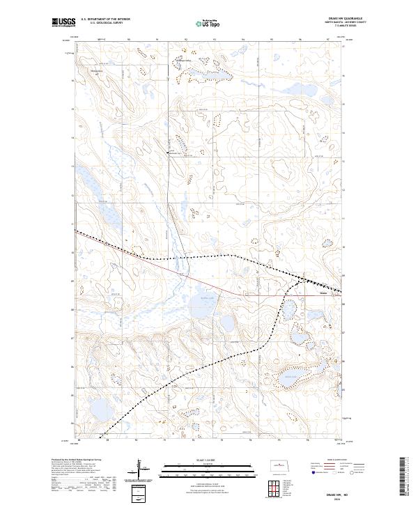
2024 Map of Drake NW
USGS Topo · Published 2024About this map
Antelope Valley and the Wintering River dominate this McHenry County landscape, reflecting the classic prairie pothole topography of central North Dakota. The river meanders through a series of wetlands and small water bodies, including Bentley Lake and Alkali Lake, which are integral parts of the regional ecosystem preserved within the McHenry County Waterfowl Production Area. These protected wetlands highlight the area's importance as a migratory corridor and breeding ground.
Find a feature on this map
28 named features on this map. Tap any name to fly to it.
Don’t see what you’re looking for? This feature index may not catch every label — zoom into the map to look around manually.
Map Details
Editions of this 2024 Drake NW Map
This is the sole edition of this map. No revisions or reprints were ever made.
Other maps of this area

1929 · Balfour
USGS Topo · 1:62,500

1930 · Drake
USGS Topo · 1:62,500

1954 · Minot
USGS Topo · 1:250,000

1954 · McClusky
USGS Topo · 1:250,000

1957 · Karlsruhe
USGS Topo · 1:24,000

1957 · Rangeley SE
USGS Topo · 1:24,000

1957 · Rangeley
USGS Topo · 1:24,000

1958 · McClusky
USGS Topo · 1:250,000

1958 · Minot
USGS Topo · 1:250,000

1958 · Drake
USGS Topo · 1:62,500