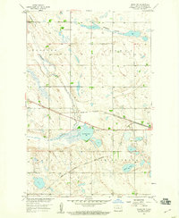
1958 Map of Drake NW
USGS Topo · Published 1959About this map
Drake serves as the primary hub in this late-1950s study of McHenry County, where the iron rails of the Minneapolis St Paul and Sault Ste Marie cut across the prairie landscape. The area is defined by its complex glacial hydrology, with the Wintering River winding through the western townships and larger water bodies like Bentley Lake and Alkali Lake punctuating the flats. A modest Landing Field near the eastern edge and a Gravel Pit indicate the local infrastructure and industry of the era.
Find a feature on this map
15 named features on this map. Tap any name to fly to it.
Don’t see what you’re looking for? This feature index may not catch every label — zoom into the map to look around manually.
Map Details
Editions of this 1958 Drake NW Map
2 editions found
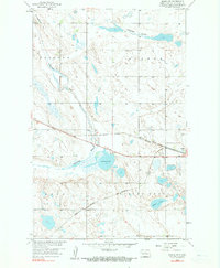
Other maps of this area

1929 · Balfour
USGS Topo · 1:62,500

1930 · Drake
USGS Topo · 1:62,500

1954 · Minot
USGS Topo · 1:250,000

1954 · McClusky
USGS Topo · 1:250,000

1957 · Karlsruhe
USGS Topo · 1:24,000

1957 · Rangeley SE
USGS Topo · 1:24,000

1957 · Rangeley
USGS Topo · 1:24,000

1958 · McClusky
USGS Topo · 1:250,000

1958 · Minot
USGS Topo · 1:250,000

1958 · Drake
USGS Topo · 1:62,500