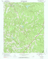
1968 Map of Drakes Branch
USGS Topo · Published 1984About this map
The town of Drakes Branch serves as the focal point for this late 1960s survey, characterized by a complex drainage network feeding into Twittys Creek and Southern Creek. As the landscape transitions toward the boundary of Charlotte Co Mecklenburg Co, a pattern of rural community life emerges through several established congregations, including Mt Calvary Ch and Lebanon Ch. The infrastructure of the era is clearly visible through the presence of a Radio Tower, Sewage Disposal facilities, and a Lookout Tower near Crafton Gate.
Find a feature on this map
27 named features on this map. Tap any name to fly to it.
Don’t see what you’re looking for? This feature index may not catch every label — zoom into the map to look around manually.
Map Details
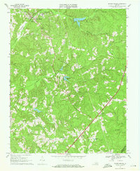
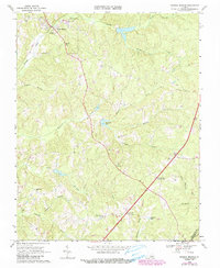
Editions of this 1968 Drakes Branch Map
3 editions found
Other maps of this area

1891 · Farmville
USGS Topo · 1:125,000

1892 · Appomattox
USGS Topo · 1:125,000

1893 · Farmville
USGS Topo · 1:125,000

1947 · Roanoke
USGS Topo · 1:250,000

1953 · Greensboro
USGS Topo · 1:250,000

1954 · Greensboro
USGS Topo · 1:250,000

1954 · Clover
USGS Topo · 1:62,500

1955 · Chase City
USGS Topo · 1:62,500

1956 · Charlotte Court House
USGS Topo · 1:62,500

1958 · Keysville
USGS Topo · 1:62,500