
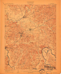
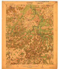
1913 Map of Drakesboro
USGS Topo · Published 1942About this map
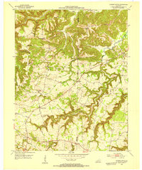
Greenville and Drakesboro serve as the primary hubs in this early 20th-century view of the coal and rail landscape of Muhlenberg County. The region's industrial backbone is clearly marked by the Illinois Central RR and the Louisville and Nashville RR, which connect mining outposts like Diamond Block and Browder to the wider world. The map reveals a dense network of local landmarks, including over two dozen rural schoolhouses such as Sharon School and Lead Hill School, and essential community gathering points like Dixon's Store and Crafts Store. Along the southern boundary with Todd County, the terrain shifts into the drainage basins of Pond River and Mud River. Geologic and structural details like the Twin Tunnels and the prominent Whiterock Cliff provide significant waypoints for those tracing family roots in this corner of the western Kentucky coalfields.
Find a feature on this map
87 named features on this map. Tap any name to fly to it.
Don’t see what you’re looking for? This feature index may not catch every label — zoom into the map to look around manually.
Map Details
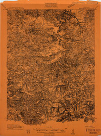
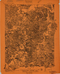
Editions of this 1913 Drakesboro Map
2 editions found
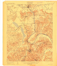
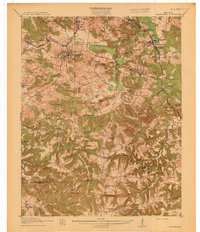
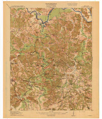
Other maps of this area

1909 · Madisonville
USGS Topo · 1:62,500
1909 · Hartford
USGS Topo · 1:62,500
1909 · Central City
USGS Topo · 1:62,500
1911 · Drakesboro
USGS Topo · 1:48,000
1911 · Dunmor
USGS Topo · 1:48,000
1912 · Nortonville
USGS Topo · 1:62,500
1913 · Drakesboro
USGS Topo · 1:62,500
1914 · Dunmor
USGS Topo · 1:62,500
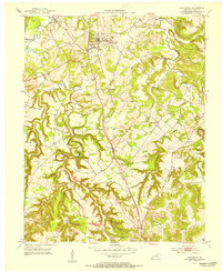
1951 · Lewisburg
USGS Topo · 1:24,000
1952 · Sharon Grove
USGS Topo · 1:24,000