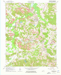
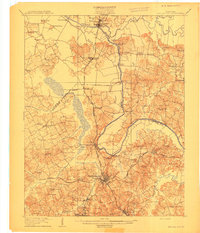
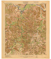
1963 Map of Drakesboro
USGS Topo · Published 1976About this map
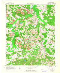
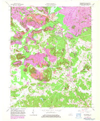
Strip mines and multiple industrial tipples dominate the landscape surrounding Drakesboro during the early 1960s, reflecting the intensive coal production of Muhlenberg County. The region's economy is clearly mapped through the infrastructure of the Louisville And Nashville and Illinois Central railroads, which weave through mining settlements like Bevier, Browder, and Nonnell. These rail lines follow the natural drainages of Caney Creek, Plum Creek, and the larger Beech Creek valley, connecting remote extraction sites to the regional transport network.
Find a feature on this map
42 named features on this map. Tap any name to fly to it.
Don’t see what you’re looking for? This feature index may not catch every label — zoom into the map to look around manually.
Map Details
Editions of this 1963 Drakesboro Map
3 editions found
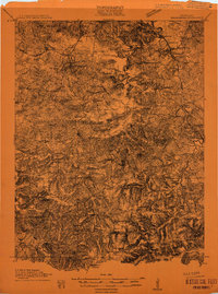
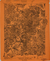
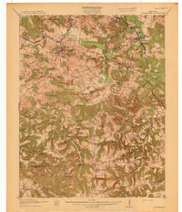
Other maps of this area
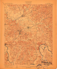
1909 · Hartford
USGS Topo · 1:62,500
1909 · Central City
USGS Topo · 1:62,500
1911 · Drakesboro
USGS Topo · 1:48,000
1911 · Dunmor
USGS Topo · 1:48,000
1913 · Drakesboro
USGS Topo · 1:62,500
1914 · Dunmor
USGS Topo · 1:62,500
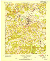
1952 · Greenville
USGS Topo · 1:24,000
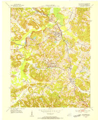
1953 · Drakesboro
USGS Topo · 1:24,000
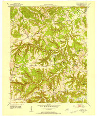
1953 · Rosewood
USGS Topo · 1:24,000
1953 · Central City West
USGS Topo · 1:24,000