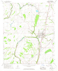
1966 Map of Drew
USGS Topo · Published 1967About this map
Drew stands at the center of this Mississippi Delta landscape, where the Illinois Central railroad defines the local geography. The town is flanked by the winding courses of Powell Bayou and Blue Lake Bayou, which drain the flat agricultural lands of Sunflower County. To the west, the Big Sunflower River and Lusinger Lake snake through the terrain, while smaller rural settlements like Dwiggins, Whitney, and Jaquith mark the intersections of the rail line and regional roads.
Find a feature on this map
37 named features on this map. Tap any name to fly to it.
Don’t see what you’re looking for? This feature index may not catch every label — zoom into the map to look around manually.
Map Details
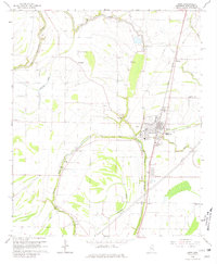
Editions of this 1966 Drew Map
2 editions found
Other maps of this area

1931 · Schlater
USGS Topo · 1:48,000

1931 · Sumner
USGS Topo · 1:48,000

1931 · Drew
USGS Topo · 1:48,000

1934 · Cleveland
USGS Topo · 1:62,500

1934 · Schlater
USGS Topo · 1:62,500

1935 · Sumner
USGS Topo · 1:62,500

1935 · Mound Bayou
USGS Topo · 1:62,500

1939 · Schlater
USGS Topo · 1:62,500

1939 · Sumner
USGS Topo · 1:62,500

1940 · Cleveland
USGS Topo · 1:62,500