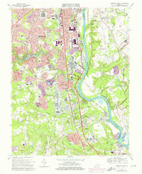
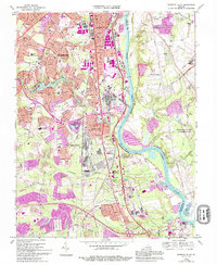
1969 Map of Drewrys Bluff
USGS Topo · Published 1976About this map
The James River corridor south of Richmond reflects a landscape where Civil War history and mid-century industrialization intersect. This survey documents the extensive grounds of the U. S. Dept. of Defense Supply Center alongside residential developments like Bensley Village and Bellwood Manor. Preservation of the region's military legacy is evident through the Richmond National Battlefield Park, which encompasses several historic fortifications including Fort Darling and Fort Gilmer.
Find a feature on this map
51 named features on this map. Tap any name to fly to it.
Don’t see what you’re looking for? This feature index may not catch every label — zoom into the map to look around manually.
Map Details
Editions of this 1969 Drewrys Bluff Map
5 editions found
Other maps of this area

1890 · Goochland
USGS Topo · 1:125,000

1892 · Goochland
USGS Topo · 1:125,000

1894 · Bermuda Hundred
USGS Topo · 1:62,500

1894 · Richmond
USGS Topo · 1:62,500

1895 · Richmond
USGS Topo · 1:62,500

1897 · Amelia
USGS Topo · 1:125,000

1934 · Seven Pines
USGS Topo · 1:24,000

1934 · Richmond
USGS Topo · 1:24,000

1936 · Richmond West
USGS Topo · 1:24,000

1938 · Dutch Gap
USGS Topo · 1:24,000