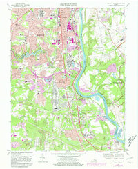
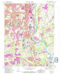
1969 Map of Drewrys Bluff
USGS Topo · Published 1981About this map
The James River carves through the landscape south of Richmond, defining a corridor where Civil War history meets mid-century suburban expansion. The eastern bank is dominated by the Richmond National Battlefield Park, preserving a dense network of fortifications including White Battery, Fort Hoke, and Fort Darling. These earthen defenses, noted as Battle Trenches and Bettie Trenches, stand in contrast to the rapid development appearing on the western side of the river. New residential patterns emerge in Bensley Village and Bellwood Manor, while the sprawling U. S. Dept. Of Defense Supply Center and the McGuire Veterans Hospital signify the area's massive institutional growth. The Seaboard Coast Line and Richmond Petersburg Turnpike provide the primary transit spine through Chesterfield County, connecting old settlements like Centralia to the urban center.
Find a feature on this map
77 named features on this map. Tap any name to fly to it.
Don’t see what you’re looking for? This feature index may not catch every label — zoom into the map to look around manually.
Map Details
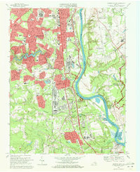
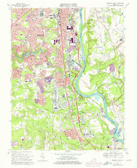
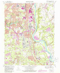
Editions of this 1969 Drewrys Bluff Map
5 editions found
Other maps of this area

1890 · Goochland
USGS Topo · 1:125,000

1892 · Goochland
USGS Topo · 1:125,000

1894 · Bermuda Hundred
USGS Topo · 1:62,500

1894 · Richmond
USGS Topo · 1:62,500

1895 · Richmond
USGS Topo · 1:62,500

1897 · Amelia
USGS Topo · 1:125,000

1934 · Seven Pines
USGS Topo · 1:24,000

1934 · Richmond
USGS Topo · 1:24,000

1936 · Richmond West
USGS Topo · 1:24,000

1938 · Dutch Gap
USGS Topo · 1:24,000