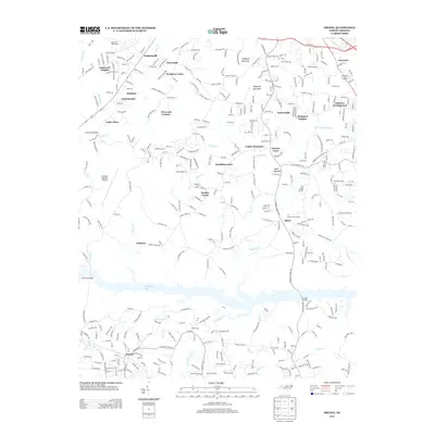
2013 Map of Drexel
USGS Topo · Published 2013About this map
Rhodhiss Lake forms a wide, branching aquatic boundary across the southern portion of this landscape, separating the residential development of Drexel from the northern heights. The terrain is defined by prominent peaks like Cajah Mountain and Bradford Mountain, while the lowlands are characterized by a network of suburban settlements including Baton, Smokey Creek, and Cajahs Mountain. The presence of the Foothills Regional Airport and several golf courses, such as High Hills Golf Course and Tri County Golf Course, indicates an area where recreation and infrastructure have adapted to the Piedmont topography.
Find a feature on this map
45 named features on this map. Tap any name to fly to it.
Don’t see what you’re looking for? This feature index may not catch every label — zoom into the map to look around manually.
Map Details
Editions of this 2013 Drexel Map
This is the sole edition of this map. No revisions or reprints were ever made.
Other maps of this area

1895 · Hickory
USGS Topo · 1:125,000

1905 · Morganton
USGS Topo · 1:125,000

1953 · Charlotte
USGS Topo · 1:250,000

1954 · Charlotte
USGS Topo · 1:250,000

1956 · Valdese
USGS Topo · 1:24,000

1956 · Collettsville
USGS Topo · 1:24,000

1956 · Morganton North
USGS Topo · 1:24,000

1956 · Morganton South
USGS Topo · 1:24,000

1956 · Lenoir
USGS Topo · 1:24,000

1956 · Drexel
USGS Topo · 1:24,000