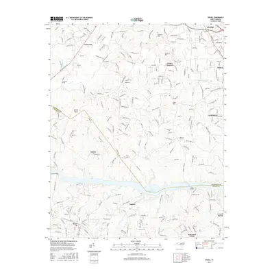
2016 Map of Drexel
USGS Topo · Published 2016About this map
Rhodhiss Lake anchors this landscape where the foothills of the Blue Ridge meet the industrial and residential corridors of western North Carolina. In the north, the terrain is defined by the significant elevations of Bradford Mtn and Cajah Mtn, while the southern portion of the map centers on the Catawba River valley. The map documents the close-knit proximity of manufacturing and educational hubs like Valdese, Drexel, and Rutherford College. Transport and infrastructure are prominent, with the Foothills Regional Airport situated near the county boundary. Local history is preserved through markers like the North Catawba Cem and rural settlements such as Baton and Amherst. The detailed road network, including family-named routes like D L Walker Estate Pl and Ransom Cardwell Ln, reflects decades of residential development and land ownership patterns across the Caldwell and Burke County line.
Find a feature on this map
237 named features on this map. Tap any name to fly to it.
Don’t see what you’re looking for? This feature index may not catch every label — zoom into the map to look around manually.
Map Details
Editions of this 2016 Drexel Map
This is the sole edition of this map. No revisions or reprints were ever made.
Other maps of this area

1895 · Hickory
USGS Topo · 1:125,000

1905 · Morganton
USGS Topo · 1:125,000

1953 · Charlotte
USGS Topo · 1:250,000

1954 · Charlotte
USGS Topo · 1:250,000

1956 · Valdese
USGS Topo · 1:24,000

1956 · Collettsville
USGS Topo · 1:24,000

1956 · Morganton North
USGS Topo · 1:24,000

1956 · Morganton South
USGS Topo · 1:24,000

1956 · Lenoir
USGS Topo · 1:24,000

1956 · Drexel
USGS Topo · 1:24,000