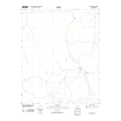
2010 Map of Dreyfoos
USGS Topo · Published 2010About this map
Dreyfoos serves as the focal point of this Hemphill County landscape, situated in the high plains of the Texas Panhandle. The area is defined by a series of intermittent and perennial watercourses that drain toward the Canadian River at the southern edge of the sheet. The drainage network includes the winding Oasis Creek and Dry Oasis Creek, which are punctuated by man-made water features such as Goettsche Lake and Oasis Lake.
Find a feature on this map
20 named features on this map. Tap any name to fly to it.
Don’t see what you’re looking for? This feature index may not catch every label — zoom into the map to look around manually.
Map Details
Editions of this 2010 Dreyfoos Map
This is the sole edition of this map. No revisions or reprints were ever made.
Other maps of this area

1954 · Perryton
USGS Topo · 1:250,000

1954 · Amarillo
USGS Topo · 1:250,000

1955 · Clinton
USGS Topo · 1:250,000

1955 · Woodward
USGS Topo · 1:250,000

1957 · Clinton
USGS Topo · 1:250,000

1958 · Perryton
USGS Topo · 1:250,000

1958 · Woodward
USGS Topo · 1:250,000

1958 · Amarillo
USGS Topo · 1:250,000

1966 · Antelope Hills
USGS Topo · 1:24,000

1966 · Durham
USGS Topo · 1:24,000