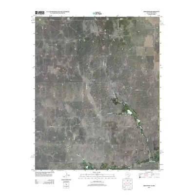
2012 Map of Dreyfoos
USGS Topo · Published 2012About this map
Dreyfoos sits in the northern reaches of Hemphill County, Texas, within a landscape defined by the drainage systems of the Canadian River valley. This 2012 survey illustrates a sparsely settled ranching territory where local hydrology dictates the placement of infrastructure. Notable water features like Goettsche Lake and Oasis Lake punctuate the arid terrain, fed by intermittent streams such as Dry Oasis Cr and Oasis Cr. The map captures a sophisticated network of county roads, including Co RD-24 and Co RD-29, that navigate around the distinctive McQuiddy Curves and cross Spring Cr as they connect isolated homesteads. The survey provides a clear view of the rural transportation grid before modern developments altered the footprint of these Texas Panhandle ranch lands.
Find a feature on this map
17 named features on this map. Tap any name to fly to it.
Don’t see what you’re looking for? This feature index may not catch every label — zoom into the map to look around manually.
Map Details
Editions of this 2012 Dreyfoos Map
This is the sole edition of this map. No revisions or reprints were ever made.
Other maps of this area

1954 · Perryton
USGS Topo · 1:250,000

1954 · Amarillo
USGS Topo · 1:250,000

1955 · Clinton
USGS Topo · 1:250,000

1955 · Woodward
USGS Topo · 1:250,000

1957 · Clinton
USGS Topo · 1:250,000

1958 · Perryton
USGS Topo · 1:250,000

1958 · Woodward
USGS Topo · 1:250,000

1958 · Amarillo
USGS Topo · 1:250,000

1966 · Antelope Hills
USGS Topo · 1:24,000

1966 · Durham
USGS Topo · 1:24,000