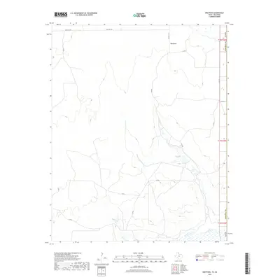
2019 Map of Dreyfoos
USGS Topo · Published 2019About this map
Dreyfoos sits within the high plains of the Texas Panhandle, a landscape defined by the drainage networks of the Canadian River and its seasonal tributaries. The local geography is shaped by the descent toward the river valley, where the rugged breaks are punctuated by water features such as Goettsche Lake and Oasis Lake. These hydrological markers, along with Oasis Cr and Dry Oasis Cr, indicate the critical role of water management and natural catchments in this arid ranching environment. The map details a network of rural infrastructure, including Ranch Rd 2758 and Co Rd K, which connect the isolated homesteads and grazing lands typical of Hemphill County. This 2019 survey provides a contemporary record of the land use and topography in the northeastern corner of the state near the Oklahoma border.
Find a feature on this map
21 named features on this map. Tap any name to fly to it.
Don’t see what you’re looking for? This feature index may not catch every label — zoom into the map to look around manually.
Map Details
Editions of this 2019 Dreyfoos Map
This is the sole edition of this map. No revisions or reprints were ever made.
Other maps of this area

1954 · Perryton
USGS Topo · 1:250,000

1954 · Amarillo
USGS Topo · 1:250,000

1955 · Clinton
USGS Topo · 1:250,000

1955 · Woodward
USGS Topo · 1:250,000

1957 · Clinton
USGS Topo · 1:250,000

1958 · Perryton
USGS Topo · 1:250,000

1958 · Woodward
USGS Topo · 1:250,000

1958 · Amarillo
USGS Topo · 1:250,000

1966 · Antelope Hills
USGS Topo · 1:24,000

1966 · Durham
USGS Topo · 1:24,000