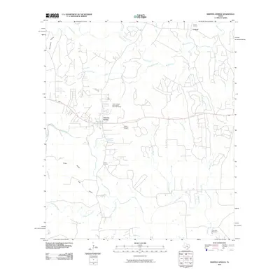
2010 Map of Dripping Springs
USGS Topo · Published 2010About this map
Dripping Springs serves as the focal point of this Hays County landscape, where the Balcones Escarpment's influence is evident in the dense network of drainage systems including Onion Creek and Barton Creek. The map preserves significant cultural heritage sites, most notably the Doctor Joseph M and Sarah Pound Farmstead, reflecting the area's mid-19th-century pioneer roots.
Find a feature on this map
22 named features on this map. Tap any name to fly to it.
Don’t see what you’re looking for? This feature index may not catch every label — zoom into the map to look around manually.
Map Details
Editions of this 2010 Dripping Springs Map
This is the sole edition of this map. No revisions or reprints were ever made.
Other maps of this area

1887 · Blanco
USGS Topo · 1:125,000

1894 · Blanco
USGS Topo · 1:125,000

1896 · Austin
USGS Topo · 1:125,000

1897 · Austin
USGS Topo · 1:125,000

1910 · Austin
USGS Topo · 1:125,000

1932 · Mt. Bonnell
USGS Topo · 1:62,500

1954 · Llano
USGS Topo · 1:250,000

1954 · Austin
USGS Topo · 1:250,000

1955 · Llano
USGS Topo · 1:250,000

1956 · Llano
USGS Topo · 1:250,000