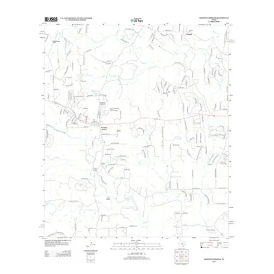
2012 Map of Dripping Springs
USGS Topo · Published 2012About this map
Dripping Springs and Fitzhugh serve as the primary anchors for this region of the Texas Hill Country, where a network of seasonal creeks and springs has long dictated the patterns of local life. The drainage systems of Barton Cr, Little Barton Cr, and Onion Cr carve through the limestone landscape, defining local hollows like Schoolhouse Hollow and Hog Hollow. This era shows a transition from traditional ranching lands to residential development, though the area's deep roots remain visible through several historic burial grounds, including Fitzhugh Cem, Phillips Cem, and the Wallace Mtn Cem located south of the main town center.
Find a feature on this map
164 named features on this map. Tap any name to fly to it.
Don’t see what you’re looking for? This feature index may not catch every label — zoom into the map to look around manually.
Map Details
Editions of this 2012 Dripping Springs Map
This is the sole edition of this map. No revisions or reprints were ever made.
Other maps of this area

1887 · Blanco
USGS Topo · 1:125,000

1894 · Blanco
USGS Topo · 1:125,000

1896 · Austin
USGS Topo · 1:125,000

1897 · Austin
USGS Topo · 1:125,000

1910 · Austin
USGS Topo · 1:125,000

1932 · Mt. Bonnell
USGS Topo · 1:62,500

1954 · Llano
USGS Topo · 1:250,000

1954 · Austin
USGS Topo · 1:250,000

1955 · Llano
USGS Topo · 1:250,000

1956 · Llano
USGS Topo · 1:250,000