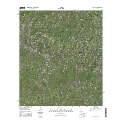
2016 Map of Dripping Springs
USGS Topo · Published 2016About this map
Dripping Springs serves as the central hub of this 2016 survey, showcasing a landscape where the expanding Hill Country residential footprint meets deep-seated Texas ranching history. The terrain is defined by the winding course of Onion Cr and Barton Cr, with numerous seasonal drainages like Jackson Br and Cottonwood Br carving through the limestone plateaus. Local genealogy and history are preserved at sites like the Fitzhugh Cem near the northern settlement of Fitzhugh, and the Phillips Cem located in the shadow of Turkey Hollow. The map traces the corridor of US Hwy 290 and its predecessor, Old Hwy 290, reflecting the area's evolution from a collection of rural homesteads around Walnut Spring to a growing suburban community. Significant natural landmarks, including Wallace Mountain Cem and Hog Hollow, anchor the landscape south toward Driftwood.
Find a feature on this map
39 named features on this map. Tap any name to fly to it.
Don’t see what you’re looking for? This feature index may not catch every label — zoom into the map to look around manually.
Map Details
Editions of this 2016 Dripping Springs Map
This is the sole edition of this map. No revisions or reprints were ever made.
Other maps of this area

1887 · Blanco
USGS Topo · 1:125,000

1894 · Blanco
USGS Topo · 1:125,000

1896 · Austin
USGS Topo · 1:125,000

1897 · Austin
USGS Topo · 1:125,000

1910 · Austin
USGS Topo · 1:125,000

1932 · Mt. Bonnell
USGS Topo · 1:62,500

1954 · Llano
USGS Topo · 1:250,000

1954 · Austin
USGS Topo · 1:250,000

1955 · Llano
USGS Topo · 1:250,000

1956 · Llano
USGS Topo · 1:250,000