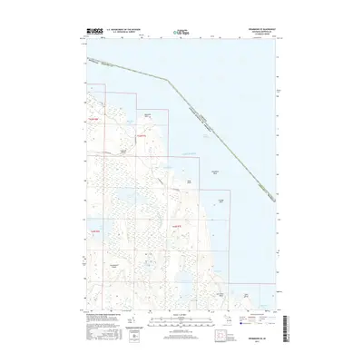
2017 Map of Drummond SE
USGS Topo · Published 2017About this map
Drummond Island is depicted here along the international boundary between the United States and Canada, showing a landscape defined by the wetlands of the Potagannissing River. This coastal area features significant topographical diversity, from the open expanses of the Maxton Plains to the intricate shoreline of Lake Huron. The map details a series of interior water bodies, including Second Lake and Fourth Lake, which feed into the larger bays. Settled along the eastern coast, Glen Cove Beach and Glen Point provide access to the waters of Glen Cove. The interior is marked by a network of local roads such as S Reynolds Bay Rd and Canfield Blvd, which navigate the complex terrain of limestone plains and marshes.
Find a feature on this map
30 named features on this map. Tap any name to fly to it.
Don’t see what you’re looking for? This feature index may not catch every label — zoom into the map to look around manually.
Map Details
Editions of this 2017 Drummond SE Map
This is the sole edition of this map. No revisions or reprints were ever made.
Other maps of this area

1954 · Alpena
USGS Topo · 1:250,000

1957 · Alpena
USGS Topo · 1:250,000

1958 · Alpena
USGS Topo · 1:250,000

1961 · Blind River
USGS Topo · 1:250,000
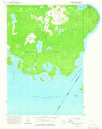
1964 · Marble Head
USGS Topo · 1:24,000

1964 · Drummond
USGS Topo · 1:24,000

1964 · Meade Island
USGS Topo · 1:24,000
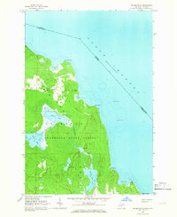
1964 · Drummond SE
USGS Topo · 1:24,000
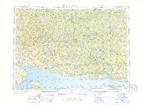
1968 · Blind River
USGS Topo · 1:250,000

1969 · Alpena
USGS Topo · 1:250,000