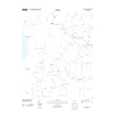
2013 Map of Drummonds
USGS Topo · Published 2013About this map
Dixonville and the surrounding rural communities of Tipton County are characterized by a network of creeks and sloughs that feed toward the Mississippi River. This landscape is defined by its small crossroads settlements, including Quito and Saint Paul, which are linked by an intricate web of local roads and farm lanes. To the west, the river influence is clear with features like Sigler Island Number Thirty-six and Bridge Slough marking the low-lying bottomlands near Neal Landing.
Find a feature on this map
121 named features on this map. Tap any name to fly to it.
Don’t see what you’re looking for? This feature index may not catch every label — zoom into the map to look around manually.
Map Details
Editions of this 2013 Drummonds Map
This is the sole edition of this map. No revisions or reprints were ever made.
Other maps of this area

1931 · Jericho
USGS Topo · 1:62,500

1939 · Jericho
USGS Topo · 1:62,500

1939 · Evadale
USGS Topo · 1:62,500

1942 · Millington
USGS Topo · 1:62,500

1952 · Jericho
USGS Topo · 1:62,500

1953 · Memphis
USGS Topo · 1:250,000

1956 · Evadale
USGS Topo · 1:62,500

1956 · Memphis
USGS Topo · 1:250,000

1956 · Blytheville
USGS Topo · 1:250,000

1959 · Blytheville
USGS Topo · 1:250,000