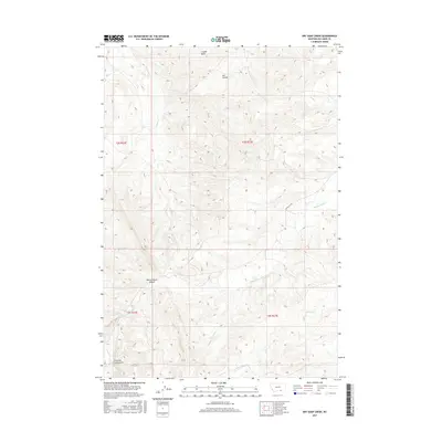
2017 Map of Dry Soap Creek
USGS Topo · Published 2017About this map
Rotten Grass Canyon dominates the southern landscape of this Big Horn County region, where the drainages of Rotten Grass Cr and Willow Cr carve through the high plains. This 2017 survey by the U.S. Geological Survey illustrates a sparsely populated ranching environment defined by its complex topography and traditional land divisions, including t7s r32e and t8s r33e.
Find a feature on this map
13 named features on this map. Tap any name to fly to it.
Don’t see what you’re looking for? This feature index may not catch every label — zoom into the map to look around manually.
Map Details
Editions of this 2017 Dry Soap Creek Map
This is the sole edition of this map. No revisions or reprints were ever made.
Other maps of this area

1894 · St. Xavier
USGS Topo · 1:125,000

1901 · St. Xavier
USGS Topo · 1:125,000

1954 · Hardin
USGS Topo · 1:250,000

1957 · Hardin
USGS Topo · 1:250,000

1958 · Hardin
USGS Topo · 1:250,000

1960 · Schick Ranch
USGS Topo · 1:24,000

1960 · Mission Coulee
USGS Topo · 1:24,000
1964 · Mountain Pocket Creek
USGS Topo · 1:24,000
1969 · Willow Creek Dam SW
USGS Topo · 1:24,000
1969 · Black Gulch
USGS Topo · 1:24,000