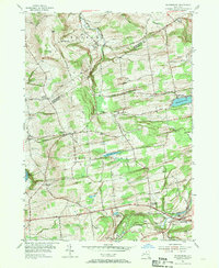
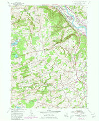
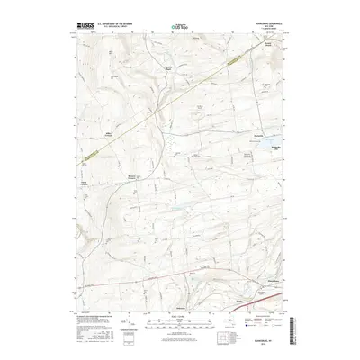
1954 Map of Duanesburg
USGS Topo · Published 1970About this map
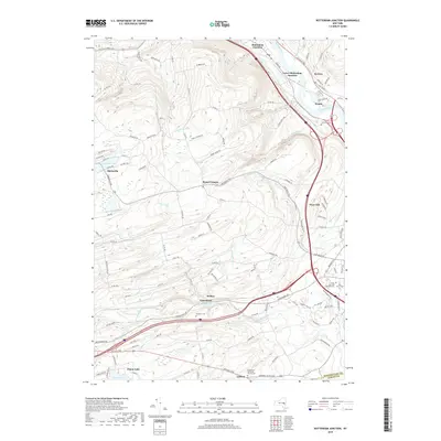
The boundary between Montgomery and Schenectady counties anchors this mid-century portrait of a rural landscape defined by elevated terrain and early transportation routes. Higher elevations like Bean Hill, Shellstone Hill, and McKinney Hill overlook a network of creek valleys and small water bodies, including Mariaville Lake and Duanesburg Res. The area shows a transition from agricultural land to more specialized infrastructure, such as the Sky Haven Airport and industrial footprints like the Gravel Quarry near Delanson.
Find a feature on this map
47 named features on this map. Tap any name to fly to it.
Don’t see what you’re looking for? This feature index may not catch every label — zoom into the map to look around manually.
Map Details
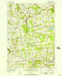
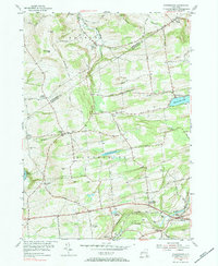
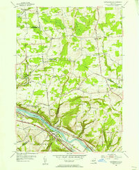
Editions of this 1954 Duanesburg Map
3 editions found
Historical Maps of Duanesburg Through Time
18 maps found
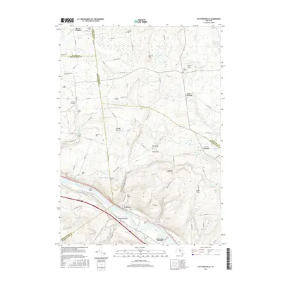
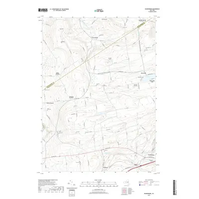
1954 Duanesburg
Schenectady County, NY
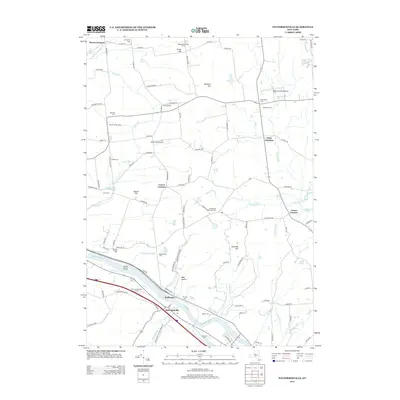
1954 Pattersonville
Schenectady County, NY
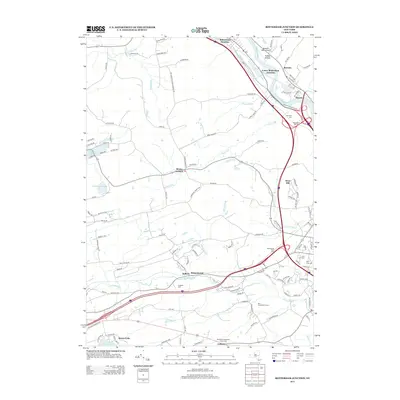
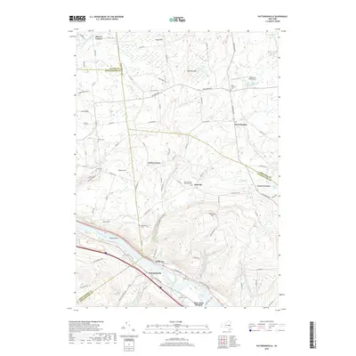
1954 Rotterdam Junction
Schenectady County, NY
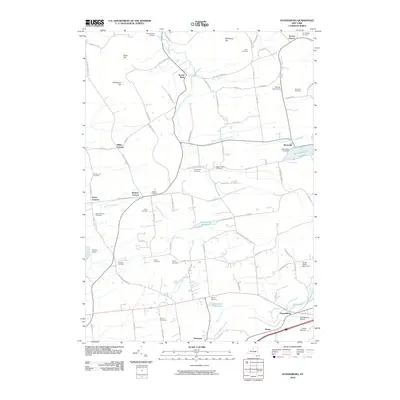
2010 Duanesburg
Schenectady County, NY
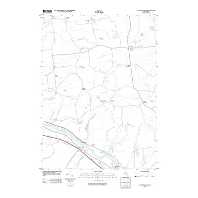
2010 Pattersonville
Schenectady County, NY
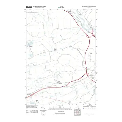
2010 Rotterdam Junction
Schenectady County, NY

2013 Duanesburg
Schenectady County, NY
2013 Pattersonville
Schenectady County, NY
2013 Rotterdam Junction
Schenectady County, NY
2016 Duanesburg
Schenectady County, NY
2016 Pattersonville
Schenectady County, NY
2016 Rotterdam Junction
Schenectady County, NY
2019 Duanesburg
Schenectady County, NY
2019 Pattersonville
Schenectady County, NY
2019 Rotterdam Junction
Schenectady County, NY

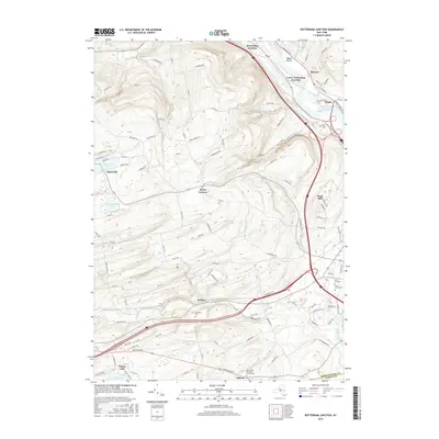
2023 Duanesburg
Schenectady County, NY

2023 Pattersonville
Schenectady County, NY

2023 Rotterdam Junction
Schenectady County, NY