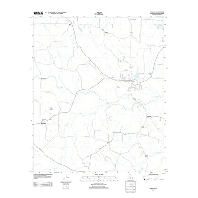
2012 Map of Dubach
USGS Topo · Published 2012About this map
Dubach stands as a central settlement in northern Lincoln Parish, situated where the terrain is drained by Buck Br and Big Cr. The landscape is characterized by a significant energy extraction footprint, with the Middlefork Gas Field to the north and the Knowles Oil and Gas Field to the west. Local genealogy is anchored by several burial grounds, including Henry Cem, Autrey Cem, and Hopewell Cem, which surround the primary community hubs.
Find a feature on this map
86 named features on this map. Tap any name to fly to it.
Don’t see what you’re looking for? This feature index may not catch every label — zoom into the map to look around manually.
Map Details
Editions of this 2012 Dubach Map
This is the sole edition of this map. No revisions or reprints were ever made.
Other maps of this area

1950 · Ruston
USGS Topo · 1:62,500

1950 · Arcadia
USGS Topo · 1:62,500

1951 · Arcadia
USGS Topo · 1:62,500

1951 · Ruston
USGS Topo · 1:62,500

1951 · Summerfield
USGS Topo · 1:62,500

1951 · Bernice
USGS Topo · 1:62,500

1955 · Shreveport
USGS Topo · 1:250,000

1956 · Shreveport
USGS Topo · 1:250,000

1984 · Shreveport
USGS Topo · 1:250,000

1985 · Monroe North
USGS Topo · 1:100,000