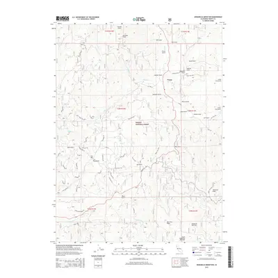
2015 Map of Dubakella Mountain
USGS Topo · Published 2015About this map
Peanut sits at the intersection of mountain roads in this 2015 study of the California high country. The landscape is dominated by the Trinity National Forest, where a network of forest routes and residential drives like Trinity Pines Rd and Chrome Mine Rd cut through the timber. The topography is defined by significant elevations, including Dubakella Mountain and Plummer Peak, separated by a dense system of drainages such as Philpot Cr and Post Cr. Residential clusters near Post Mtn Road Gulch illustrate how modern settlement has adapted to the steep drainages of the Klamath Mountains. Evidence of historical land use is found in labels for Old Hwy 36 and specialized paths like Rattlesnake Rd, which provide access to the ridges and canyons that define this part of Trinity County.
Find a feature on this map
71 named features on this map. Tap any name to fly to it.
Don’t see what you’re looking for? This feature index may not catch every label — zoom into the map to look around manually.
Map Details
Editions of this 2015 Dubakella Mountain Map
This is the sole edition of this map. No revisions or reprints were ever made.
Other maps of this area

1909 · Big Bar
USGS Topo · 1:96,000

1915 · Big Bar and Vicinity
USGS Topo · 1:250,000

1918 · Anada
USGS Topo · 1:62,500

1931 · Hoaglin
USGS Topo · 1:96,000

1935 · Hoaglin
USGS Topo · 1:125,000

1951 · Hayfork
USGS Topo · 1:62,500

1951 · Hyampom
USGS Topo · 1:62,500

1954 · Pickett Peak
USGS Topo · 1:62,500

1954 · Dubakella Mtn
USGS Topo · 1:62,500

1958 · Redding
USGS Topo · 1:250,000