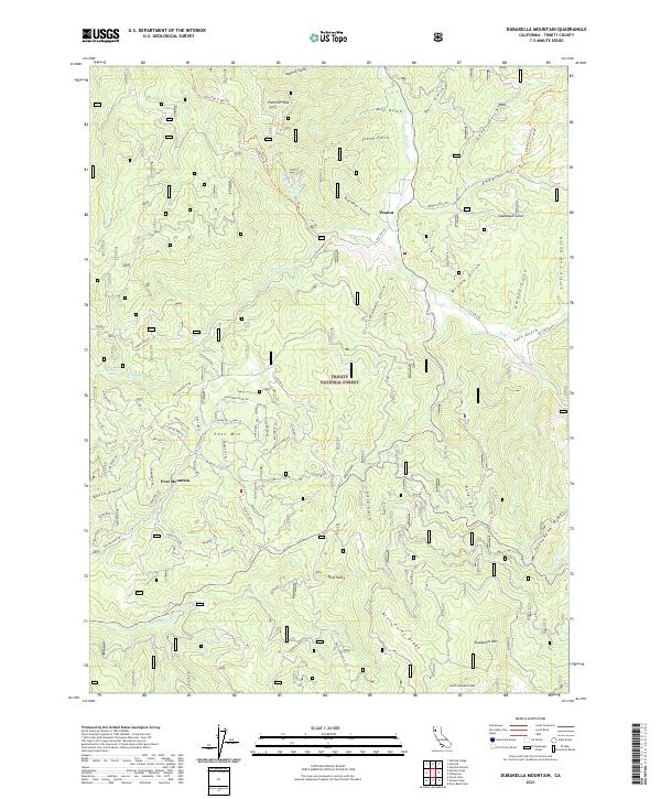
2021 Map of Dubakella Mountain
USGS Topo · Published 2021About this map
The Trinity National Forest defines this high-elevation landscape in Trinity County, where the southern reaches of the Klamath Mountains meet a complex network of canyons and ridges. The settlement of Peanut sits at the junction of Old Hwy 36 and Salt Cr, serving as a landmark in a region otherwise dominated by timber and mineral interests. Further south, the community of Post Mountain is characterized by a dense residential road network including Whispering Pines Rd and Trinity Pines Rd, showing a distinct shift in land use compared to the surrounding forest.
Find a feature on this map
83 named features on this map. Tap any name to fly to it.
Don’t see what you’re looking for? This feature index may not catch every label — zoom into the map to look around manually.
Map Details
Editions of this 2021 Dubakella Mountain Map
This is the sole edition of this map. No revisions or reprints were ever made.
Other maps of this area

1909 · Big Bar
USGS Topo · 1:96,000

1915 · Big Bar and Vicinity
USGS Topo · 1:250,000

1918 · Anada
USGS Topo · 1:62,500

1931 · Hoaglin
USGS Topo · 1:96,000

1935 · Hoaglin
USGS Topo · 1:125,000

1951 · Hayfork
USGS Topo · 1:62,500

1951 · Hyampom
USGS Topo · 1:62,500

1954 · Pickett Peak
USGS Topo · 1:62,500

1954 · Dubakella Mtn
USGS Topo · 1:62,500

1958 · Redding
USGS Topo · 1:250,000