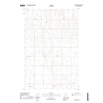
2020 Map of Dubbe Reservoir
USGS Topo · Published 2020About this map
Johnson Coulée cuts through this high plains landscape in Valley County, Montana, illustrating the drainage patterns that define this arid ranching and grazing region. Small-scale water management is the primary human footprint here, visible in features like the Dubbe Reservoir and Horgan Reservoir. These small impoundments, along with named springs such as 28N44E17CCBD01 Spring, are critical for sustaining life in a region where water sources are often seasonal or sparse.
Find a feature on this map
14 named features on this map. Tap any name to fly to it.
Don’t see what you’re looking for? This feature index may not catch every label — zoom into the map to look around manually.
Map Details
Editions of this 2020 Dubbe Reservoir Map
This is the sole edition of this map. No revisions or reprints were ever made.
Other maps of this area

1910 · Todd Lakes
USGS Topo · 1:62,500

1915 · Frazer
USGS Topo · 1:62,500

1915 · Oswego
USGS Topo · 1:62,500

1915 · Todd Lakes
USGS Topo · 1:62,500

1915 · Spring Creek
USGS Topo · 1:62,500

1954 · Wolf Point
USGS Topo · 1:250,000

1954 · Glasgow
USGS Topo · 1:250,000

1957 · Glasgow
USGS Topo · 1:250,000

1958 · Wolf Point
USGS Topo · 1:250,000

1958 · Glasgow
USGS Topo · 1:250,000