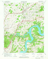
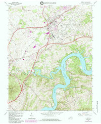
1965 Map of Dublin
USGS Topo · Published 1966About this map
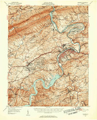
The New River and its massive impoundment, Claytor Lake, dominate this mid-1960s landscape in Pulaski County. The town of Dublin serves as a central hub, flanked by industrial and military presence including the Radford Army Ammunition Plant and Burlington Mills. The terrain transitions from the steep rise of Draper Mountain and Peak Knob in the southwest to the developed corridors along the Norfolk and Western railroad lines.
Find a feature on this map
48 named features on this map. Tap any name to fly to it.
Don’t see what you’re looking for? This feature index may not catch every label — zoom into the map to look around manually.
Map Details
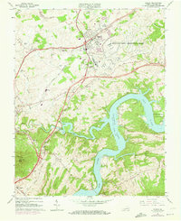
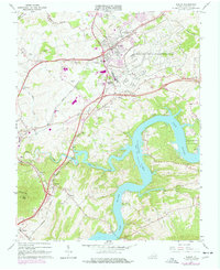
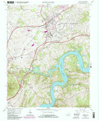
Editions of this 1965 Dublin Map
5 editions found
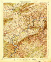
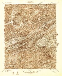
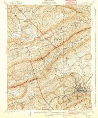
Other maps of this area

1889 · Hillsville
USGS Topo · 1:125,000

1890 · Dublin
USGS Topo · 1:125,000

1891 · Dublin
USGS Topo · 1:125,000

1892 · Hillsville
USGS Topo · 1:125,000

1896 · Hillsville
USGS Topo · 1:125,000
1930 · Max Meadows
USGS Topo · 1:62,500
1934 · Pulaski
USGS Topo · 1:48,000
1940 · Pulaski
USGS Topo · 1:62,500
1950 · Radford
USGS Topo · 1:62,500

1953 · Winston-Salem
USGS Topo · 1:250,000