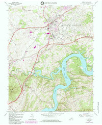
1965 Map of Dublin
USGS Topo · Published 1984About this map
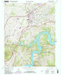
Claytor Lake and its winding inlets dominate the southern landscape of this mid-1960s survey, illustrating the significant recreational and industrial footprint of the New River valley. The map documents a period of Cold War industrialization, prominently featuring the expansive Radford Army Ammunition Plant and the local economic anchor at Burlington Mills. The transportation infrastructure is defined by the Norfolk and Western railroad corridors which connect small crossroads like McAdam and Wurno to the larger hub of Dublin.
Find a feature on this map
43 named features on this map. Tap any name to fly to it.
Don’t see what you’re looking for? This feature index may not catch every label — zoom into the map to look around manually.
Map Details
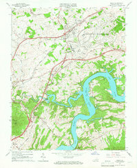
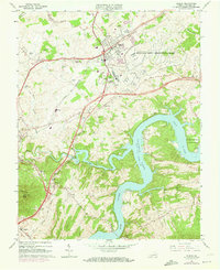
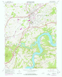
Editions of this 1965 Dublin Map
5 editions found
Other maps of this area

1889 · Hillsville
USGS Topo · 1:125,000

1890 · Dublin
USGS Topo · 1:125,000

1891 · Dublin
USGS Topo · 1:125,000

1892 · Hillsville
USGS Topo · 1:125,000

1896 · Hillsville
USGS Topo · 1:125,000

1930 · Max Meadows
USGS Topo · 1:62,500

1934 · Pulaski
USGS Topo · 1:48,000

1940 · Pulaski
USGS Topo · 1:62,500

1950 · Radford
USGS Topo · 1:62,500

1953 · Winston-Salem
USGS Topo · 1:250,000