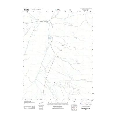
2012 Map of Duck Creek Valley
USGS Topo · Published 2012About this map
Duck Creek Valley is defined by a series of north-south drainages and working ranchlands in White Pine County. The watershed of Duck Cr anchors the area, feeding the Duck Creek Reservoir and supporting the Duck Creek Fish Hatchery. Settlement patterns here are tied to water and grazing, as evidenced by the established Pescio Ranch near Gallagher Gap and the Hornbek Ranch further south. The landscape is marked by steep transitions into the surrounding highlands, where features like Snake Canyon, Paine Gulch, and Miller Gulch reveal the complex topography. High-altitude recreation and water management are prominent, with several campgrounds including Bird Creek Campground and Timber Creek Campground positioned along the seasonal creeks that flow from the nearby peaks. Scattered water sources like Pah-rah-Mike Springs and Bart Spring indicate the critical role of spring-fed hydrology in this high-desert environment.
Find a feature on this map
24 named features on this map. Tap any name to fly to it.
Don’t see what you’re looking for? This feature index may not catch every label — zoom into the map to look around manually.
Map Details
Editions of this 2012 Duck Creek Valley Map
This is the sole edition of this map. No revisions or reprints were ever made.
Other maps of this area

1952 · Ely
USGS Topo · 1:125,000

1956 · Ely
USGS Topo · 1:250,000

1958 · McGill
USGS Topo · 1:24,000

1958 · East Ely
USGS Topo · 1:24,000

1958 · McGill
USGS Topo · 1:62,500

1959 · Ely
USGS Topo · 1:250,000

1959 · Schell Peaks
USGS Topo · 1:62,500

1963 · Ely
USGS Topo · 1:250,000

1981 · North Schell Peak
USGS Topo · 1:24,000

1981 · Duck Creek Valley
USGS Topo · 1:24,000