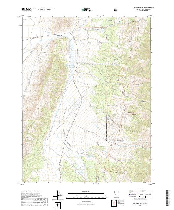
2021 Map of Duck Creek Valley
USGS Topo · Published 2021About this map
Duck Creek winds through the high basin of White Pine County, serving as the central hydrological feature of this mountain-locked valley. The waterway feeds into the Duck Creek Reservoir, a notable point of water management in a landscape defined by its arid mountain ranges and high-elevation drainage patterns. This modern topographic survey illustrates the enduring relationship between the valley floor and the surrounding ridges, where seasonal runoff from the Schell Creek Range and Duck Creek Range converges. The placement of the reservoir and the path of the creek reflect the essential role of water preservation in this part of eastern Nevada, where the geography dictates both the ecology and the historical utility of the land.
Find a feature on this map
2 named features on this map. Tap any name to fly to it.
Don’t see what you’re looking for? This feature index may not catch every label — zoom into the map to look around manually.
Map Details
Editions of this 2021 Duck Creek Valley Map
This is the sole edition of this map. No revisions or reprints were ever made.
Other maps of this area

1952 · Ely
USGS Topo · 1:125,000

1956 · Ely
USGS Topo · 1:250,000

1958 · McGill
USGS Topo · 1:24,000

1958 · East Ely
USGS Topo · 1:24,000

1958 · McGill
USGS Topo · 1:62,500

1959 · Ely
USGS Topo · 1:250,000

1959 · Schell Peaks
USGS Topo · 1:62,500

1963 · Ely
USGS Topo · 1:250,000

1981 · North Schell Peak
USGS Topo · 1:24,000

1981 · Duck Creek Valley
USGS Topo · 1:24,000