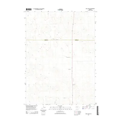
2014 Map of Duck Lake SE
USGS Topo · Published 2014About this map
The Nebraska Sandhills define the topography of this section of the state, where the boundary between Cherry Co and Thomas Co divides a landscape characterized by intricate contour lines and a sparse network of rural roads. The primary north-south artery, Us-83, bisects the area, serving as the central link for the remote ranches and land tracts that rely on it. Branching off this corridor are several named routes that hint at local land use and heritage, including Chisholm Ln and W Antelope Valley Rd. Near the county line, the intersection of Co Lone Rd and Hamilton Rd provides a specific reference point for family land histories. This 2014 survey documents the enduring physical character of this cattle country, showing how modern transportation like Blue Devil Ln and Peters Ln follows the natural dictates of the hills.
Find a feature on this map
9 named features on this map. Tap any name to fly to it.
Don’t see what you’re looking for? This feature index may not catch every label — zoom into the map to look around manually.
Map Details
Editions of this 2014 Duck Lake SE Map
This is the sole edition of this map. No revisions or reprints were ever made.
Other maps of this area

1948 · Thedford
USGS Topo · 1:62,500

1948 · Halsey
USGS Topo · 1:62,500

1948 · Seneca 4
USGS Topo · 1:62,500

1949 · Seneca 4
USGS Topo · 1:62,500

1949 · Purdum
USGS Topo · 1:62,500

1950 · Thedford
USGS Topo · 1:62,500

1950 · Halsey
USGS Topo · 1:62,500

1951 · Purdum
USGS Topo · 1:62,500

1954 · North Platte
USGS Topo · 1:250,000

1956 · North Platte
USGS Topo · 1:250,000