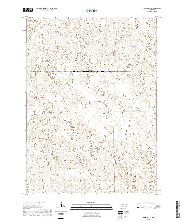
2021 Map of Duck Lake SE
USGS Topo · Published 2021About this map
The Cherry Co Thomas Co boundary line divides this segment of the Nebraska Sandhills, a landscape defined by an intricate network of depressions and ridges. At the time of this 2021 survey, the area remains primarily open range, with human activity centered on a sparse network of county roads and private lanes. Co Line Rd and Hamilton Rd provide the primary north-south and east-west transit through the northern sections, while W Antelope Valley Rd and E Antelope Valley Rd stretch across the central terrain. The naming of smaller thoroughfares like Blue Devil Ln and Peters Ln suggests the presence of localized ranching operations and family holdings. This map serves as a contemporary record of the land use patterns in Thomas County, documenting how property boundaries and access routes conform to the undulating natural topography of the High Plains.
Find a feature on this map
11 named features on this map. Tap any name to fly to it.
Don’t see what you’re looking for? This feature index may not catch every label — zoom into the map to look around manually.
Map Details
Editions of this 2021 Duck Lake SE Map
This is the sole edition of this map. No revisions or reprints were ever made.
Other maps of this area

1948 · Thedford
USGS Topo · 1:62,500

1948 · Halsey
USGS Topo · 1:62,500

1948 · Seneca 4
USGS Topo · 1:62,500

1949 · Seneca 4
USGS Topo · 1:62,500

1949 · Purdum
USGS Topo · 1:62,500

1950 · Thedford
USGS Topo · 1:62,500

1950 · Halsey
USGS Topo · 1:62,500

1951 · Purdum
USGS Topo · 1:62,500

1954 · North Platte
USGS Topo · 1:250,000

1956 · North Platte
USGS Topo · 1:250,000