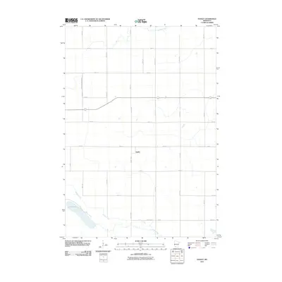
2010 Map of Dudley
USGS Topo · Published 2010About this map
Dudley is situated at the heart of this agricultural landscape in Lyon County, positioned along the intersection of County Hwy-9 and 260th St. This area reflects a highly organized rural grid system, punctuated by hydrological features like Lake Marshall in the southwest and the meandering course of the Redwood River crossing the northern section. The map reveals the intricate water management required for farming in this region, notably through County Ditch Number Sixty, which channels water toward the tributaries. These drainage patterns and local roads such as County Hwy-72 and 330th Ave illustrate the modern spatial organization of the Minnesota prairie, where small settlements like Dudley serve as local hubs within a dense network of sectional roads and drainage ways like Meadow Creek.
Find a feature on this map
21 named features on this map. Tap any name to fly to it.
Don’t see what you’re looking for? This feature index may not catch every label — zoom into the map to look around manually.
Map Details
Editions of this 2010 Dudley Map
This is the sole edition of this map. No revisions or reprints were ever made.
Other maps of this area

1953 · New Ulm
USGS Topo · 1:250,000

1957 · New Ulm
USGS Topo · 1:250,000

1958 · New Ulm
USGS Topo · 1:250,000

1962 · Dudley
USGS Topo · 1:24,000

1962 · Cottonwood
USGS Topo · 1:24,000

1962 · School Grove Lake
USGS Topo · 1:24,000

1962 · Milroy SE
USGS Topo · 1:24,000

1962 · Amiret
USGS Topo · 1:24,000

1962 · Milroy
USGS Topo · 1:24,000

1963 · Marshall SE
USGS Topo · 1:24,000