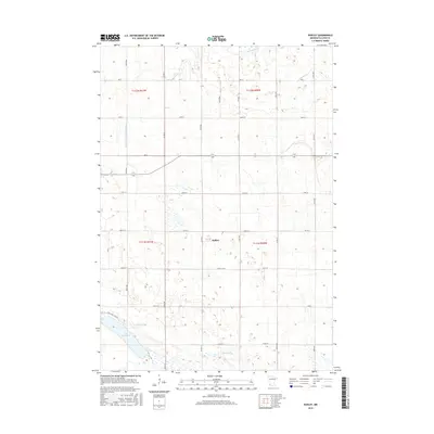
2016 Map of Dudley
USGS Topo · Published 2016About this map
The settlement of Dudley anchors this 2016 survey of southwestern Minnesota, where the agricultural grid of Lyon County meets the natural curves of the Redwood River. Flowing across the northern sections of the map, the river and the nearby Meadow Cr define the drainage of this prairie landscape, supplemented by engineered waterways like County Ditch Number Sixty. In the southwest corner, Lake Marshall serves as a prominent landmark, surrounded by developing residential infrastructure such as Lochland Hills Dr. The map illustrates a transition between established section-line roads like Lyon Co Rd 6 and newer county routes, reflecting the enduring rural character of the region alongside modern land management practices in the early 21st century.
Find a feature on this map
33 named features on this map. Tap any name to fly to it.
Don’t see what you’re looking for? This feature index may not catch every label — zoom into the map to look around manually.
Map Details
Editions of this 2016 Dudley Map
This is the sole edition of this map. No revisions or reprints were ever made.
Other maps of this area

1953 · New Ulm
USGS Topo · 1:250,000

1957 · New Ulm
USGS Topo · 1:250,000

1958 · New Ulm
USGS Topo · 1:250,000

1962 · Dudley
USGS Topo · 1:24,000

1962 · Cottonwood
USGS Topo · 1:24,000

1962 · School Grove Lake
USGS Topo · 1:24,000

1962 · Milroy SE
USGS Topo · 1:24,000

1962 · Amiret
USGS Topo · 1:24,000

1962 · Milroy
USGS Topo · 1:24,000

1963 · Marshall SE
USGS Topo · 1:24,000