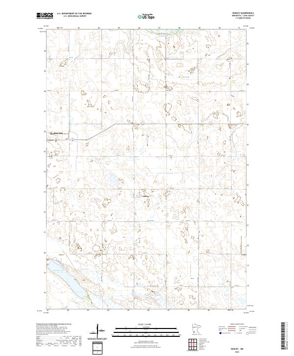
2022 Map of Dudley
USGS Topo · Published 2022About this map
Marshall occupies the northwestern corner of this agricultural landscape, where the prairie grid is interrupted by the winding course of the Redwood River. The small settlement of Dudley sits centrally at the crossroads of Co Hwy 9 and 260th St, representing a classic rural outpost in Lyon County. The terrain is defined by its drainage patterns, most notably Lake Marshall in the southwest and the managed flow of County Ditch Number Sixty. This 2022 survey illustrates the modern intersection of residential expansion and traditional farming, as seen in the development along Lochland Hills Dr near the lakeshore. A network of township roads and county highways connects isolated farmsteads across the townships of t112n r41w and t111n r40w, reflecting a landscape built on the efficiency of the Public Land Survey System.
Find a feature on this map
35 named features on this map. Tap any name to fly to it.
Don’t see what you’re looking for? This feature index may not catch every label — zoom into the map to look around manually.
Map Details
Editions of this 2022 Dudley Map
This is the sole edition of this map. No revisions or reprints were ever made.
Other maps of this area

1953 · New Ulm
USGS Topo · 1:250,000

1957 · New Ulm
USGS Topo · 1:250,000

1958 · New Ulm
USGS Topo · 1:250,000

1962 · Dudley
USGS Topo · 1:24,000

1962 · Cottonwood
USGS Topo · 1:24,000

1962 · School Grove Lake
USGS Topo · 1:24,000

1962 · Milroy SE
USGS Topo · 1:24,000

1962 · Amiret
USGS Topo · 1:24,000

1962 · Milroy
USGS Topo · 1:24,000

1963 · Marshall SE
USGS Topo · 1:24,000