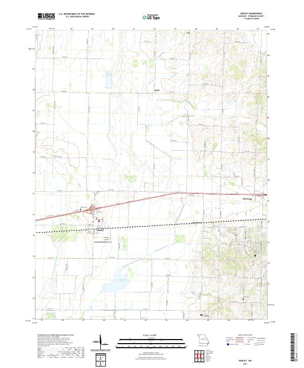
2021 Map of Dudley
USGS Topo · Published 2021About this map
Dudley and the western outskirts of Dexter anchor this Stoddard County landscape, where the flat alluvial plains of the Missouri Bootheel meet the rising ground of Crowley Ridge. The terrain is defined by an extensive network of water management, featuring the Dudley Main Ditch and Cypress Lateral Number 1, which drain the lowlands including The Glades Swamp. These engineering efforts transformed the area into productive farmland, though small historic settlements like Aid and Redd persist as markers of earlier rural community life.
Find a feature on this map
77 named features on this map. Tap any name to fly to it.
Don’t see what you’re looking for? This feature index may not catch every label — zoom into the map to look around manually.
Map Details
Editions of this 2021 Dudley Map
This is the sole edition of this map. No revisions or reprints were ever made.
Other maps of this area

1934 · Bloomfield
USGS Topo · 1:62,500

1934 · Puxico
USGS Topo · 1:62,500

1939 · Bloomfield
USGS Topo · 1:62,500

1939 · Puxico
USGS Topo · 1:62,500

1940 · Malden
USGS Topo · 1:62,500

1940 · Valley Ridge
USGS Topo · 1:62,500

1949 · Bloomfield
USGS Topo · 1:62,500

1956 · Valley Ridge
USGS Topo · 1:62,500

1956 · Malden
USGS Topo · 1:62,500

1956 · Dyersburg
USGS Topo · 1:250,000