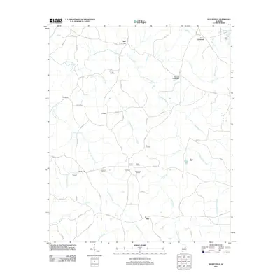
2011 Map of Dudleyville
USGS Topo · Published 2011About this map
Tiller Crossroads and Trammel Crossroads anchor a landscape defined by traditional Southern settlement patterns and family-named waypoints in Chambers County. The terrain is deeply carved by the Tallapoosa River and its numerous tributaries, including Chatahospee Creek and County Line Creek, which together dictate the winding routes of rural corridors like Lafayette Rd and Dudleyville Rd.
Find a feature on this map
75 named features on this map. Tap any name to fly to it.
Don’t see what you’re looking for? This feature index may not catch every label — zoom into the map to look around manually.
Map Details
Editions of this 2011 Dudleyville Map
This is the sole edition of this map. No revisions or reprints were ever made.
Other maps of this area

1891 · Ashland
USGS Topo · 1:125,000

1899 · Wedowee
USGS Topo · 1:125,000

1902 · Wedowee
USGS Topo · 1:125,000

1906 · Dadeville
USGS Topo · 1:125,000

1907 · Opelika
USGS Topo · 1:125,000

1909 · Opelika
USGS Topo · 1:125,000

1953 · Atlanta
USGS Topo · 1:250,000

1955 · Phenix City
USGS Topo · 1:250,000

1957 · Phenix City
USGS Topo · 1:250,000

1957 · Atlanta
USGS Topo · 1:250,000