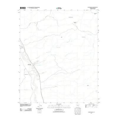
2011 Map of Dudleyville
USGS Topo · Published 2011About this map
Dudleyville sits at the western edge of this 2011 survey, positioned where the San Pedro River flows through the arid Pinal County landscape. The community's development is structured by a network of local roads such as E Freeman Rd and Camino Rio Rd, illustrating a corridor of settlement that follows the river's course. To the east, the terrain transitions into a series of drainage basins and desert camps, where seasonal watercourses like Eskiminzin Wash and Roach Wash carve paths through the earth toward the river valley.
Find a feature on this map
30 named features on this map. Tap any name to fly to it.
Don’t see what you’re looking for? This feature index may not catch every label — zoom into the map to look around manually.
Map Details
Editions of this 2011 Dudleyville Map
This is the sole edition of this map. No revisions or reprints were ever made.
Other maps of this area

1910 · Ray
USGS Topo · 1:62,500

1911 · Winkelman
USGS Topo · 1:125,000

1913 · Winkelman
USGS Topo · 1:125,000

1915 · Christmas
USGS Topo · 1:62,500

1917 · Christmas
USGS Topo · 1:62,500

1949 · Holy Joe Peak
USGS Topo · 1:62,500

1949 · Winkelman
USGS Topo · 1:24,000

1949 · Winkelman
USGS Topo · 1:62,500

1949 · Saddle Mtn.
USGS Topo · 1:24,000

1949 · Brandenburg Mtn
USGS Topo · 1:24,000