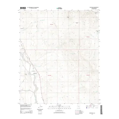
2014 Map of Dudleyville
USGS Topo · Published 2014About this map
Dudleyville occupies the lower ground along the San Pedro River, where irrigation and settlement are constrained by the surrounding desert uplands. The terrain is defined by a series of drainage systems including Eskiminzin Wash, Green Lantern Wash, and Piper Springs Wash, which carve through the arid landscape toward the river valley. To the west, Malpais Hill stands as a prominent landmark near the town center, while the eastern reaches of the map climb toward the high peaks of Saddle Mtn.
Find a feature on this map
32 named features on this map. Tap any name to fly to it.
Don’t see what you’re looking for? This feature index may not catch every label — zoom into the map to look around manually.
Map Details
Editions of this 2014 Dudleyville Map
This is the sole edition of this map. No revisions or reprints were ever made.
Other maps of this area

1910 · Ray
USGS Topo · 1:62,500

1911 · Winkelman
USGS Topo · 1:125,000

1913 · Winkelman
USGS Topo · 1:125,000

1915 · Christmas
USGS Topo · 1:62,500

1917 · Christmas
USGS Topo · 1:62,500

1949 · Holy Joe Peak
USGS Topo · 1:62,500

1949 · Winkelman
USGS Topo · 1:24,000

1949 · Winkelman
USGS Topo · 1:62,500

1949 · Saddle Mtn.
USGS Topo · 1:24,000

1949 · Brandenburg Mtn
USGS Topo · 1:24,000