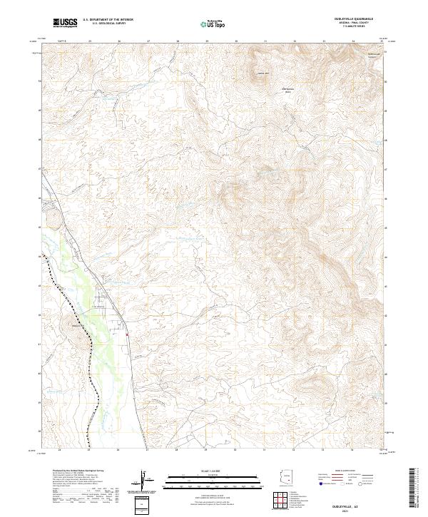
2021 Map of Dudleyville
USGS Topo · Published 2021About this map
The San Pedro River valley defines this desert landscape, with a network of ephemeral washes and springs that have sustained life and travel in Pinal County for generations. Local road networks like N Dudleyville Rd and S PZ Ranch Rd trace the corridor of the river, while secondary paths such as Kelley's Camp Trl suggest a history of remote camps and range management. Elevated landmarks like Malpais Hill and Saddle Mtn provide significant verticality against the drainage basins.
Find a feature on this map
40 named features on this map. Tap any name to fly to it.
Don’t see what you’re looking for? This feature index may not catch every label — zoom into the map to look around manually.
Map Details
Editions of this 2021 Dudleyville Map
This is the sole edition of this map. No revisions or reprints were ever made.
Other maps of this area

1910 · Ray
USGS Topo · 1:62,500

1911 · Winkelman
USGS Topo · 1:125,000

1913 · Winkelman
USGS Topo · 1:125,000

1915 · Christmas
USGS Topo · 1:62,500

1917 · Christmas
USGS Topo · 1:62,500

1949 · Holy Joe Peak
USGS Topo · 1:62,500

1949 · Winkelman
USGS Topo · 1:24,000

1949 · Winkelman
USGS Topo · 1:62,500

1949 · Saddle Mtn.
USGS Topo · 1:24,000

1949 · Brandenburg Mtn
USGS Topo · 1:24,000