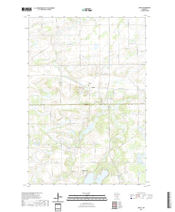
2022 Map of Duelm
USGS Topo · Published 2022About this map
Duelm serves as a focal point for this rural landscape where the border of Benton and Sherburne counties meets. The settlement pattern is defined by a rigorous grid of section lines and county roads, including Co Hwy 10 and Duelm Rd SE, which navigate a complex network of wetlands and small water bodies. Local history is anchored by the Saint Lawrence Cem just north of the village, providing a vital point of reference for genealogists studying the families who settled this area.
Find a feature on this map
60 named features on this map. Tap any name to fly to it.
Don’t see what you’re looking for? This feature index may not catch every label — zoom into the map to look around manually.
Map Details
Editions of this 2022 Duelm Map
This is the sole edition of this map. No revisions or reprints were ever made.
Other maps of this area

1950 · St. Cloud
USGS Topo · 1:62,500

1951 · Annandale
USGS Topo · 1:62,500

1953 · Saint Cloud
USGS Topo · 1:250,000

1953 · Stillwater
USGS Topo · 1:250,000

1955 · Stillwater
USGS Topo · 1:250,000

1957 · Saint Cloud
USGS Topo · 1:250,000

1958 · Stillwater
USGS Topo · 1:250,000

1958 · Saint Cloud
USGS Topo · 1:250,000

1961 · Clear Lake
USGS Topo · 1:24,000

1961 · Becker
USGS Topo · 1:24,000
Featured Places
- Saint George Township, MN
- Palmer Township, MN
- Santiago Township, MN
- Briggs Lake, MN
- Glendorado Township, MN