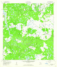
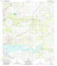
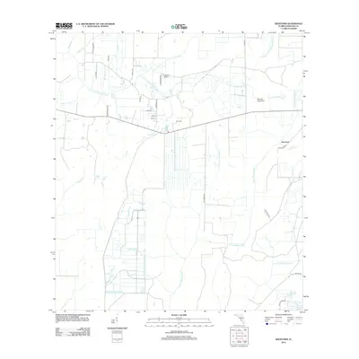
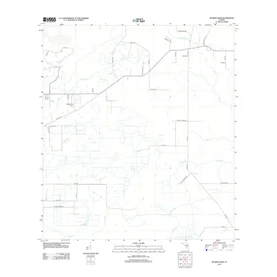
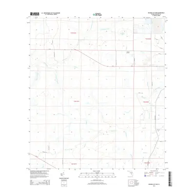
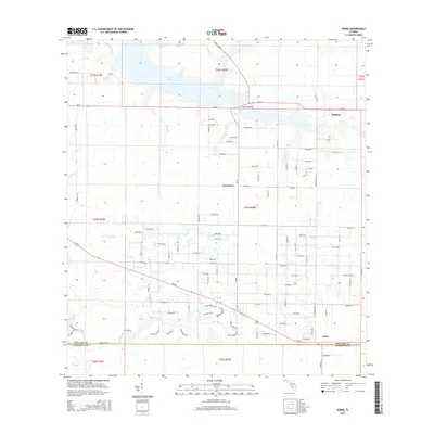
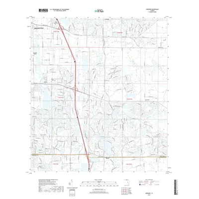
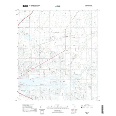
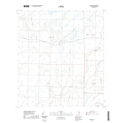
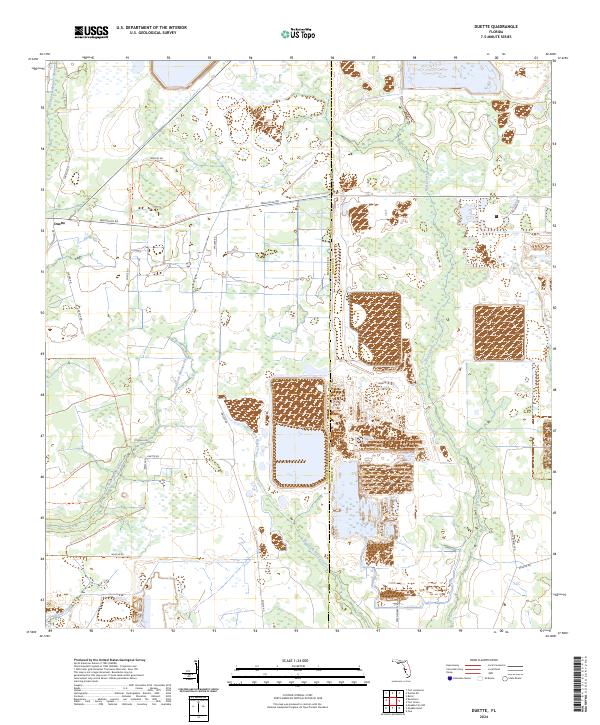
1956 Map of Duette
USGS Topo · Published 1969About this map
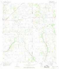
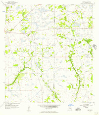
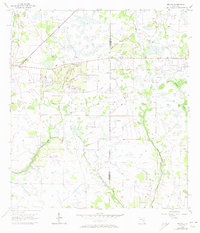
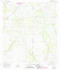
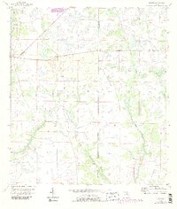
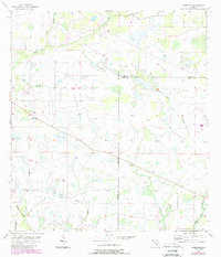
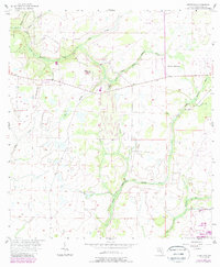
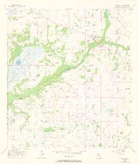
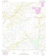
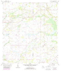
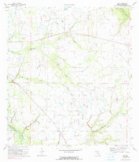
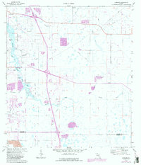
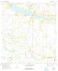
The small settlement of Duette sits at a crossroads in eastern Manatee County, marking one of the few concentrated areas of habitation in this mid-century landscape. The surrounding terrain is defined by a dense network of tributaries and wetlands, where the North Fork, East Fork, and West Fork Manatee River converge to shape the headwaters of one of the region's primary drainage systems. Further east, the meandering course of Horse Creek and its tributary Brushy Creek run parallel to the Manatee Co Hardee Co boundary, illustrating the natural water boundaries that once influenced land division and agricultural patterns. The survey, grounded in 1950s planetable work and 1951 aerial photography, documents a period of Florida's interior before significant modern drainage projects or large-scale development altered these rural wetlands.
Find a feature on this map
7 named features on this map. Tap any name to fly to it.
Don’t see what you’re looking for? This feature index may not catch every label — zoom into the map to look around manually.
Map Details
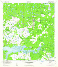
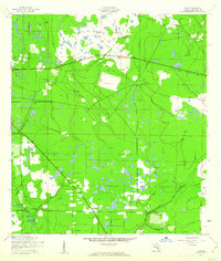
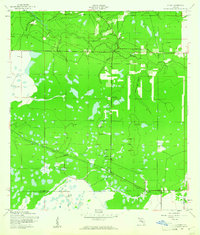
Editions of this 1956 Duette Map
5 editions found
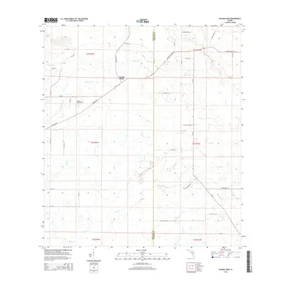
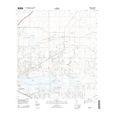
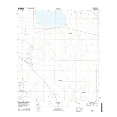
Historical Maps of Duette Through Time
65 maps found

1921 Fort De Soto
Manatee County, FL
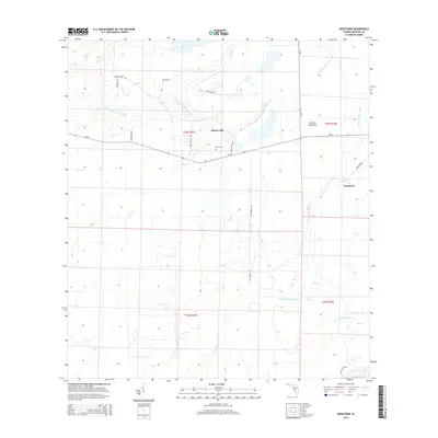
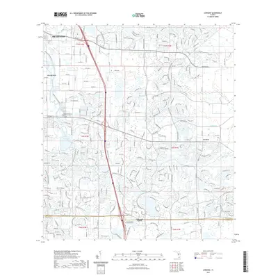
1944 Lorraine
Manatee County, FL
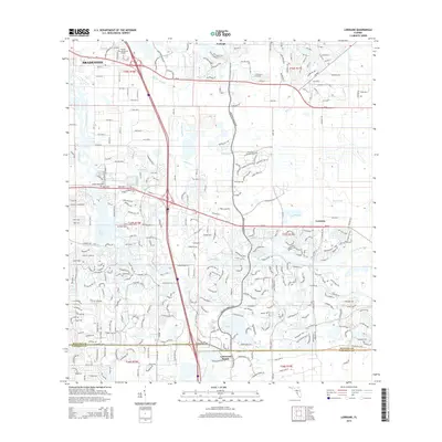
1944 Parrish
Manatee County, FL
1944 Rye
Manatee County, FL
1944 Verna
Manatee County, FL
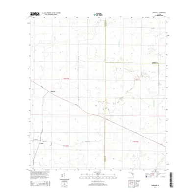
1956 Duette
Manatee County, FL
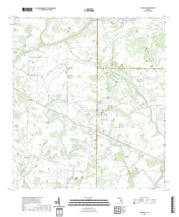
1956 Edgeville
Manatee County, FL
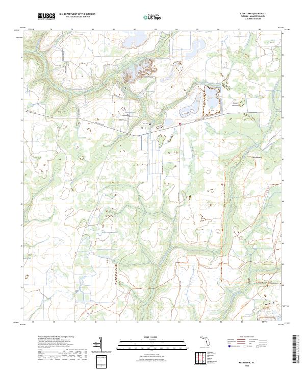
1956 Keentown
Manatee County, FL
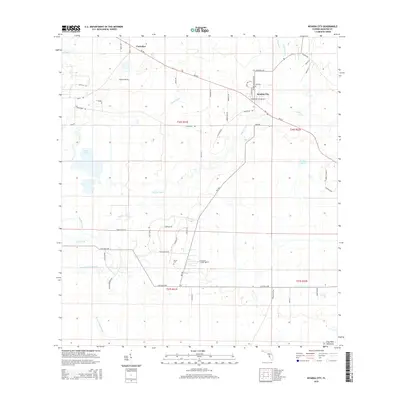
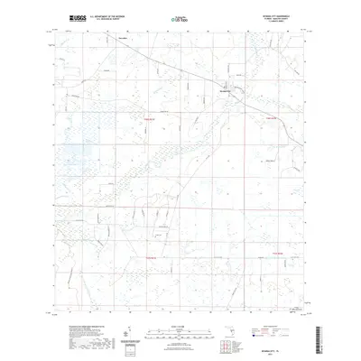
1956 Myakka City
Manatee County, FL
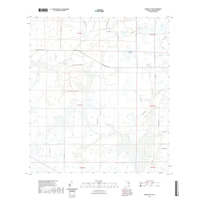
1956 Myakka City NW
Manatee County, FL
1956 Myakka Head
Manatee County, FL
1972 Rye
Manatee County, FL
1973 Lorraine
Manatee County, FL
1973 Parrish
Manatee County, FL
1973 Verna
Manatee County, FL
2012 Duette
Manatee County, FL
2012 Edgeville
Manatee County, FL
2012 Keentown
Manatee County, FL
2012 Lorraine
Manatee County, FL
2012 Myakka City
Manatee County, FL
2012 Myakka City NW
Manatee County, FL
2012 Myakka Head
Manatee County, FL
2012 Parrish
Manatee County, FL
2012 Rye
Manatee County, FL

2012 Verna
Manatee County, FL
2015 Duette
Manatee County, FL
2015 Edgeville
Manatee County, FL
2015 Keentown
Manatee County, FL
2015 Lorraine
Manatee County, FL
2015 Myakka City
Manatee County, FL
2015 Myakka City NW
Manatee County, FL
2015 Myakka Head
Manatee County, FL
2015 Parrish
Manatee County, FL
2015 Rye
Manatee County, FL
2015 Verna
Manatee County, FL
2018 Duette
Manatee County, FL
2018 Edgeville
Manatee County, FL
2018 Keentown
Manatee County, FL
2018 Lorraine
Manatee County, FL
2018 Myakka City
Manatee County, FL
2018 Myakka City NW
Manatee County, FL
2018 Myakka Head
Manatee County, FL
2018 Parrish
Manatee County, FL
2018 Rye
Manatee County, FL

2018 Verna
Manatee County, FL
2021 Duette
Manatee County, FL
2021 Edgeville
Manatee County, FL
2021 Keentown
Manatee County, FL
2021 Lorraine
Manatee County, FL
2021 Myakka City
Manatee County, FL
2021 Myakka City NW
Manatee County, FL
2021 Myakka Head
Manatee County, FL

2021 Parrish
Manatee County, FL
2021 Rye
Manatee County, FL
2021 Verna
Manatee County, FL
2024 Duette
Manatee County, FL
2024 Edgeville
Manatee County, FL
2024 Keentown
Manatee County, FL
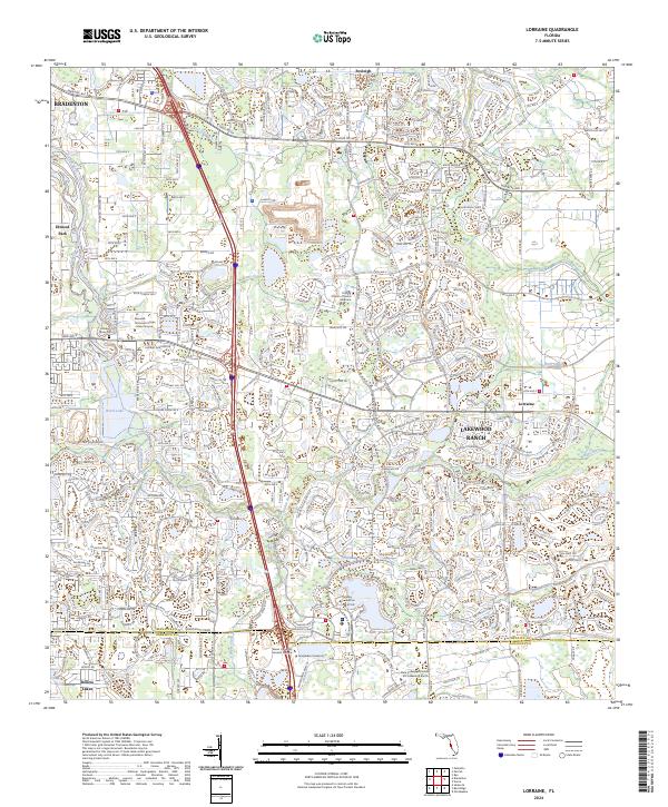
2024 Lorraine
Manatee County, FL
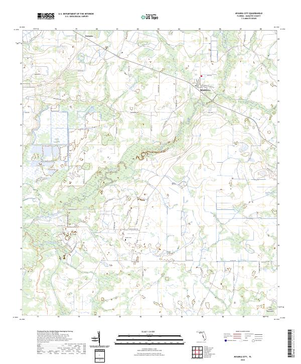
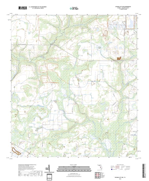
2024 Myakka City
Manatee County, FL
2024 Myakka City NW
Manatee County, FL
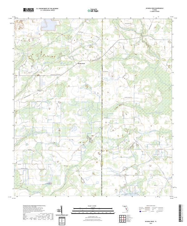
2024 Myakka Head
Manatee County, FL
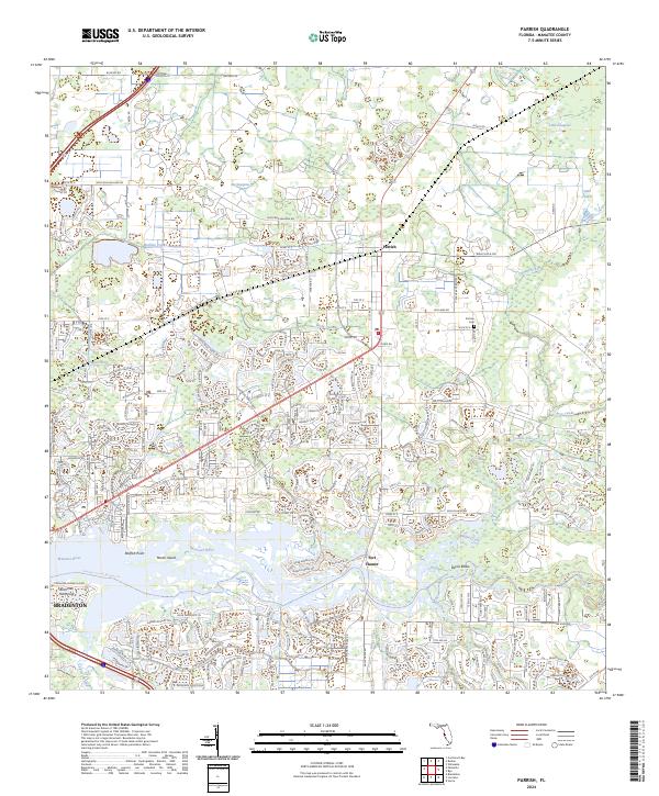
2024 Parrish
Manatee County, FL
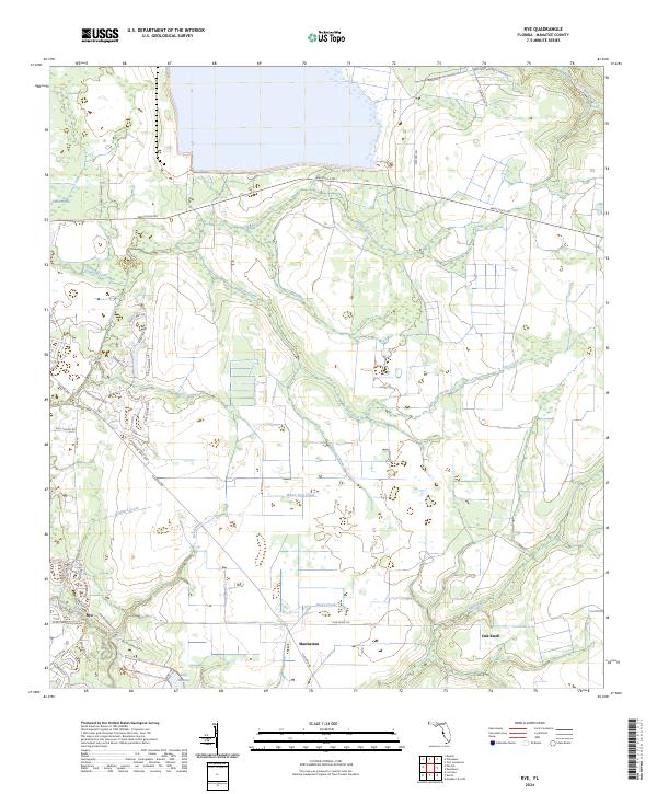
2024 Rye
Manatee County, FL
2024 Verna
Manatee County, FL