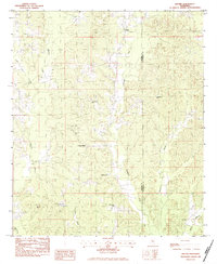
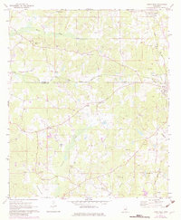
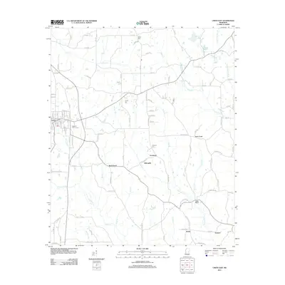
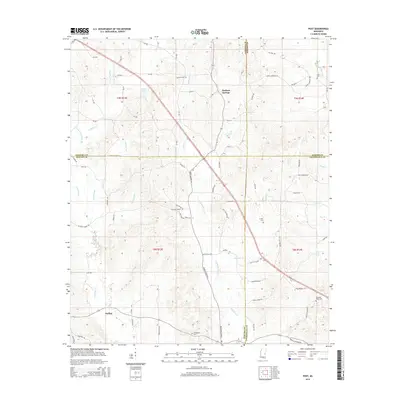
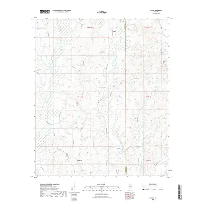
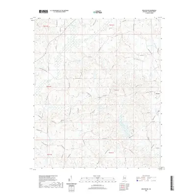
1982 Map of Duffee
USGS Topo · Published 1983About this map
The rolling landscape along the border of Newton and Lauderdale counties is defined by its rural church and cemetery network in the early 1980s. Small communities like Duffee and Center Ridge serve as focal points for local history, surrounded by numerous namesake congregations including Liberty Ch, Faith Tabernacle Ch, and Providence Ch. This period shows a transition in local infrastructure, most notably marked by the presence of an Abandoned Railroad cutting through the northern reaches near Duffee Ch.
Find a feature on this map
23 named features on this map. Tap any name to fly to it.
Don’t see what you’re looking for? This feature index may not catch every label — zoom into the map to look around manually.
Map Details
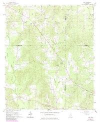
Editions of this 1982 Duffee Map
This is the sole edition of this map. No revisions or reprints were ever made.
Historical Maps of Duffee Through Time
30 maps found
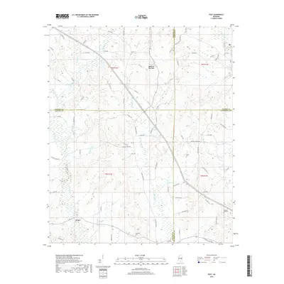
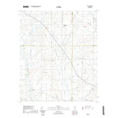
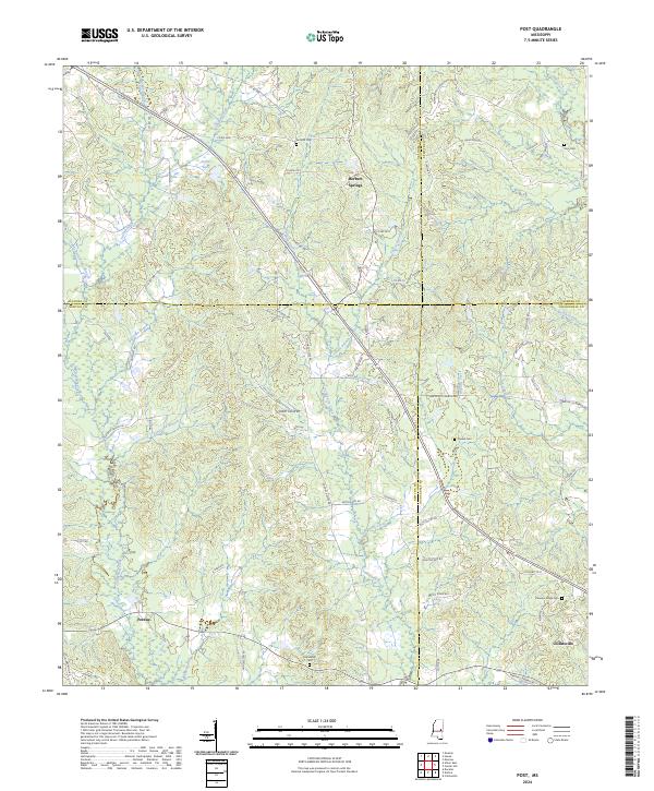
1962 Post
Newton County, MS
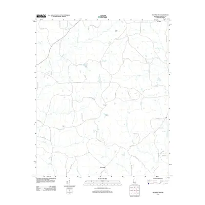
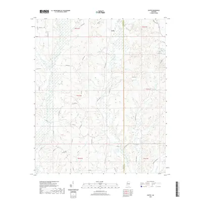
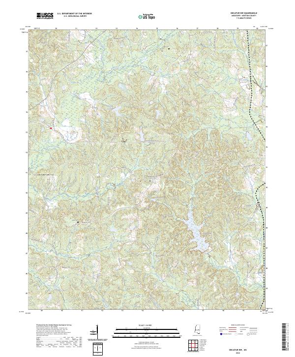
1966 Decatur NW
Newton County, MS
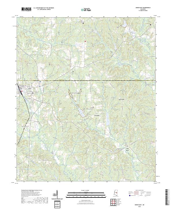
1972 Union East
Newton County, MS
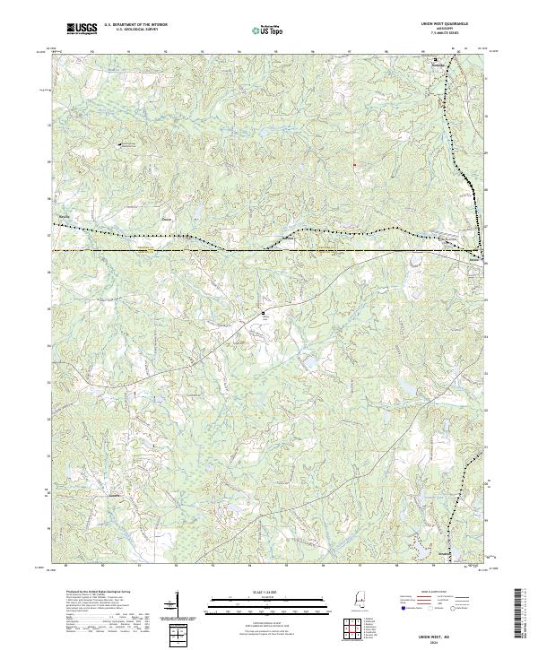
1972 Union West
Newton County, MS
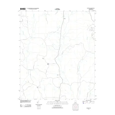
1982 Duffee
Newton County, MS
2012 Decatur NW
Newton County, MS
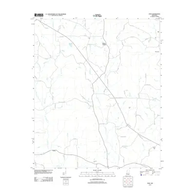
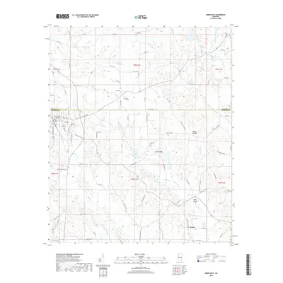
2012 Duffee
Newton County, MS
2012 Post
Newton County, MS
2012 Union East
Newton County, MS
2012 Union West
Newton County, MS
2015 Decatur NW
Newton County, MS
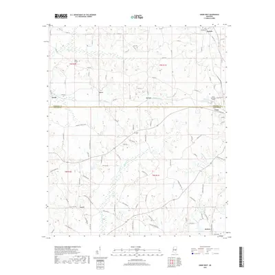
2015 Duffee
Newton County, MS
2015 Post
Newton County, MS
2015 Union East
Newton County, MS
2015 Union West
Newton County, MS
2018 Decatur NW
Newton County, MS
2018 Duffee
Newton County, MS
2018 Post
Newton County, MS
2018 Union East
Newton County, MS
2018 Union West
Newton County, MS
2020 Decatur NW
Newton County, MS
2020 Duffee
Newton County, MS
2020 Post
Newton County, MS
2020 Union East
Newton County, MS
2020 Union West
Newton County, MS
2024 Decatur NW
Newton County, MS
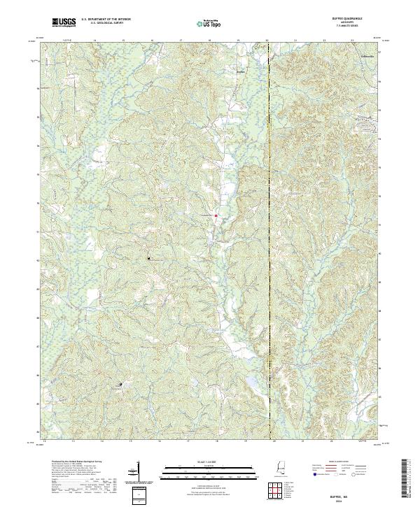
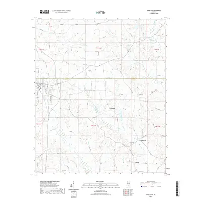
2024 Duffee
Newton County, MS
2024 Post
Newton County, MS
2024 Union East
Newton County, MS
2024 Union West
Newton County, MS