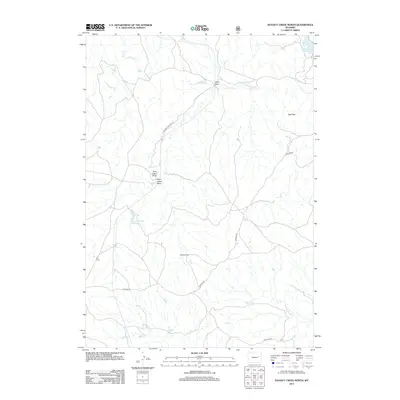
2012 Map of Dugout Creek North
USGS Topo · Published 2012About this map
Logan Draw and its eastern and western branches anchor this section of Campbell County, where the high plains landscape is defined by a network of drainage basins and isolated ranching outposts. This 2012 survey illustrates the modern ranching and industrial footprint of the region, featuring the Steckley Ranch and the site of Old Verse in the southwest. The presence of Antelope Coalmine Rd and several US Forest Service routes through the center of the sheet highlights the dual-use nature of the land, supporting both energy infrastructure and rural accessibility. Water management remains central to life here, with the Porcupine Reservoir in the northeast and the Lazy Y Number 1 Reservoir providing essential collection points along the intermittent flows of Antelope Cr and Dugout Cr. In the east, the Red Hills provide a distinctive topographical landmark amidst the surrounding creek beds.
Find a feature on this map
16 named features on this map. Tap any name to fly to it.
Don’t see what you’re looking for? This feature index may not catch every label — zoom into the map to look around manually.
Map Details
Editions of this 2012 Dugout Creek North Map
This is the sole edition of this map. No revisions or reprints were ever made.
Other maps of this area

1955 · Newcastle
USGS Topo · 1:250,000

1958 · Newcastle
USGS Topo · 1:250,000

1959 · Betty Reservoir
USGS Topo · 1:62,500

1971 · Coal Bank Draw
USGS Topo · 1:24,000

1971 · Teckla
USGS Topo · 1:24,000

1971 · Piney Canyon SW
USGS Topo · 1:24,000

1971 · Teckla SW
USGS Topo · 1:24,000

1971 · Tin Can Lake
USGS Topo · 1:24,000

1974 · Reno Junction
USGS Topo · 1:100,000

1979 · Bill
USGS Topo · 1:100,000