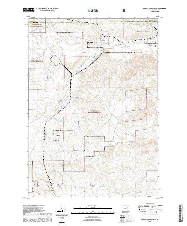
2021 Map of Dugout Creek North
USGS Topo · Published 2021About this map
Thunder Basin National Grassland dominates this high plains landscape on the border of Campbell and Converse counties. The terrain is defined by complex drainage systems and eroded landforms, including the Rochelle Hills and Red Hills. Water management is evident through features like the Lazy Y Number 1 Reservoir, supporting a region where ranching and energy extraction intersect. The industrial footprint of the Powder River Basin is marked by the Antelope Coal Mine Road, which cuts through the grasslands toward mining operations. A network of primitive paths and named draws, such as North Dugout Trl and Phillips Draw Trl, weave through the topography near Dugout Cr, illustrating how land use is tied to the local hydrology of Antelope Cr and Horse Cr.
Find a feature on this map
31 named features on this map. Tap any name to fly to it.
Don’t see what you’re looking for? This feature index may not catch every label — zoom into the map to look around manually.
Map Details
Editions of this 2021 Dugout Creek North Map
This is the sole edition of this map. No revisions or reprints were ever made.
Other maps of this area

1955 · Newcastle
USGS Topo · 1:250,000

1958 · Newcastle
USGS Topo · 1:250,000

1959 · Betty Reservoir
USGS Topo · 1:62,500

1971 · Coal Bank Draw
USGS Topo · 1:24,000

1971 · Teckla
USGS Topo · 1:24,000

1971 · Piney Canyon SW
USGS Topo · 1:24,000

1971 · Teckla SW
USGS Topo · 1:24,000

1971 · Tin Can Lake
USGS Topo · 1:24,000

1974 · Reno Junction
USGS Topo · 1:100,000

1979 · Bill
USGS Topo · 1:100,000