
1969 Map of Dugout Creek
USGS Topo · Published 1973About this map
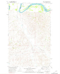
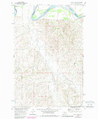
The Missouri River winds along the northern boundary of this landscape, marking the transition between Roosevelt and Richland counties. This late 1960s survey captures a drainage system dominated by the deep incisions of Hardscrabble Creek and its tributary, East Hardscrabble Creek, which flow northward toward the Missouri floodplain. Further south, the namesake Dugout Creek cuts through the terrain, illustrating the intricate seasonal watercourses that define the region's topography. While largely characterized by its natural hydrology and prominent landmarks like Boulder, evidence of industrial activity appears in the form of a solitary Mine located in the northeastern uplands. The map reveals the sparse network of unimproved roads and section lines typical of eastern Montana's ranching country during this period of development in the Missouri River Basin.
Find a feature on this map
9 named features on this map. Tap any name to fly to it.
Don’t see what you’re looking for? This feature index may not catch every label — zoom into the map to look around manually.
Map Details
Editions of this 1969 Dugout Creek Map
3 editions found
Other maps of this area

1909 · Glendive
USGS Topo · 1:250,000

1948 · Fort Kipp
USGS Topo · 1:24,000

1949 · Fort Kipp
USGS Topo · 1:24,000

1954 · Glendive
USGS Topo · 1:250,000

1954 · Wolf Point
USGS Topo · 1:250,000

1957 · Glendive
USGS Topo · 1:250,000

1958 · Wolf Point
USGS Topo · 1:250,000

1958 · Glendive
USGS Topo · 1:250,000
1969 · Culbertson
USGS Topo · 1:24,000
1969 · Twomile Creek
USGS Topo · 1:24,000