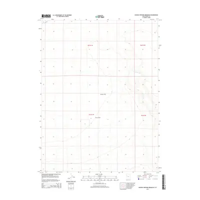
2014 Map of Dugway Proving Ground SE
USGS Topo · Published 2014About this map
Dugway Valley dominates this 2014 survey of Tooele County, reflecting a landscape defined by prehistoric hydrology and modern military boundaries. The most striking geographical feature is the Old River Bed, a relict channel that once connected the basins of Lake Bonneville, winding through the eastern portion of the quadrangle. This ancient watercourse serves as a physical record of the region's dramatic climatic shifts over millennia.
Find a feature on this map
8 named features on this map. Tap any name to fly to it.
Don’t see what you’re looking for? This feature index may not catch every label — zoom into the map to look around manually.
Map Details
Editions of this 2014 Dugway Proving Ground SE Map
This is the sole edition of this map. No revisions or reprints were ever made.
Other maps of this area

1885 · Sevier Desert
USGS Topo · 1:250,000

1885 · Tooele Valley
USGS Topo · 1:250,000

1908 · Fish Springs
USGS Topo · 1:250,000

1910 · Fish Springs
USGS Topo · 1:250,000

1953 · Dugway Range NE
USGS Topo · 1:24,000

1953 · Dugway Range
USGS Topo · 1:62,500

1953 · Dugway Range NW
USGS Topo · 1:24,000

1953 · Tooele
USGS Topo · 1:250,000

1953 · Delta
USGS Topo · 1:250,000

1954 · Dugway Proving Ground SE
USGS Topo · 1:24,000