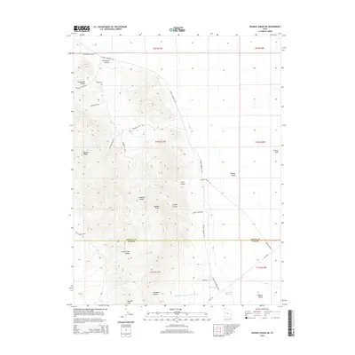
2014 Map of Dugway Range NE
USGS Topo · Published 2014About this map
Dugway Range dominates this landscape along the border of Tooele and Juab counties, where a network of primitive roads and deep canyons reveals a history of desert transit and industry. The terrain is marked by significant topographical landmarks such as Pyramid Peak and Dugway Ridge, while the southeastern corner of the map preserves a trace of the historical Pony Exp route as it passes near Monument Reservoir.
Find a feature on this map
35 named features on this map. Tap any name to fly to it.
Don’t see what you’re looking for? This feature index may not catch every label — zoom into the map to look around manually.
Map Details
Editions of this 2014 Dugway Range NE Map
This is the sole edition of this map. No revisions or reprints were ever made.
Other maps of this area

1885 · Sevier Desert
USGS Topo · 1:250,000

1885 · Tooele Valley
USGS Topo · 1:250,000

1908 · Fish Springs
USGS Topo · 1:250,000

1910 · Fish Springs
USGS Topo · 1:250,000

1953 · Dugway Range NE
USGS Topo · 1:24,000

1953 · Dugway Pass
USGS Topo · 1:24,000

1953 · Dugway Range
USGS Topo · 1:62,500

1953 · Dugway Range NW
USGS Topo · 1:24,000

1953 · Tooele
USGS Topo · 1:250,000

1953 · Delta
USGS Topo · 1:250,000