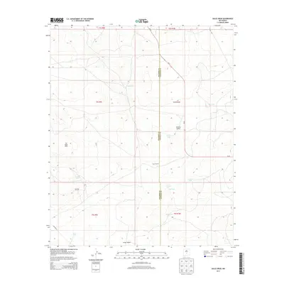
2013 Map of Dulce Draw
USGS Topo · Published 2013About this map
Dulce Draw and its surrounding high-desert terrain define this area of New Mexico, where the landscape is marked by the complex drainage systems of Sacate Draw and Largo Canyon. In this dry environment, the distribution of water sources dictates the human footprint. Cattle ranching and land management are evident through a network of water tanks and windmills, such as the Largo Windmill, New East Windmill, and numerous stock tanks like Wilson Tank and Runnels Tank. Topographically, the map is dominated by the prominent Cat Head Mesa in the west and the deep cutting of Pinatosa Canyon. This 2013 survey illustrates the sparse, utilitarian nature of the borderlands between Socorro and Lincoln Counties, connected primarily by the north-south route of NM-55 and a few secondary roads like Co Road a014.
Find a feature on this map
23 named features on this map. Tap any name to fly to it.
Don’t see what you’re looking for? This feature index may not catch every label — zoom into the map to look around manually.
Map Details
Editions of this 2013 Dulce Draw Map
This is the sole edition of this map. No revisions or reprints were ever made.
Other maps of this area

1918 · Oscura Peak
USGS Topo · 1:125,000

1948 · Broken Back Crater
USGS Topo · 1:62,500

1950 · Little Black Peak
USGS Topo · 1:62,500

1954 · Tularosa
USGS Topo · 1:250,000

1954 · Fort Sumner
USGS Topo · 1:250,000

1954 · Socorro
USGS Topo · 1:250,000

1955 · Roswell
USGS Topo · 1:250,000

1958 · Socorro
USGS Topo · 1:250,000

1958 · Fort Sumner
USGS Topo · 1:250,000

1958 · Roswell
USGS Topo · 1:250,000